19c, Devonport Road, London, W12 8NZ
About 19c
19c is an end-of-terrace house in London (W12 8NZ). It has a recorded floor area of 94 m² (around 1012 sq ft) and construction records dating it to before 1900. At 94 m² this is the 9th smallest of 12 units on EPC record in the building, where floor areas span 45–106 m². The building's EPC ratings span E to C, with this unit at the bottom. On EPC score it ranks last in the building (53 versus a best of 78). The latest certificate (May 2012) shows an E (score 53), well below the UK norm with real room to improve. The recommended improvements would lift it to C (score 76), a 2-band jump. The latest certificate is from May 2012, so improvements made since then won't be reflected.
It hasn't traded since November 2000, a hold of 26 years that's notably long for the area. At 94 m² the property is well over the postcode median (63 m² across 52 EPCs), placing it in the larger end of the local stock. On energy efficiency it sits in the bottom 10% of properties in this postcode — significant headroom for improvement. Across 1996–2000, sale prices on this property compounded at 23.3% per year. Today's modelled estimate of £527,000 sits 201.1% above the 2000 sale of £175,000. On a £-per-square-foot basis, the last sale (£173/sq ft) was about 37.7% below the postcode norm.
Know exactly what you're buying at 19c
Before you offer, see what the listing won't tell you, the true value, the red flags and the full history.
Already flagged here
Valuation
against the asking price
Risks
planning & flood
Sold prices
similar homes nearby
Trends
the local market
Energy performance
19c sits at the bottom of the postcode for energy efficiency — meaningful headroom to improve.
EPC Expired
This certificate is over 10 years old and is no longer valid.Expired 09 May 2022
EPC Rating
Planning history
19c has no planning applications on record.
Notable planning nearby
3applications of note in the surrounding area
We flagged 1 thing worth checking at 19c
Independent checks surfaced things a buyer would want to understand before offering. The report explains each one in full, with the underlying data and what to ask.
- Larger development activity nearby
30-day money-back guarantee
Sales history & valuation
Sale price has at least doubled since 1996.
£527,000
Modelled from EPC, postcode comparables and a sale-price growth of 23.3% per year over 4 years.
£175,000
Growth on file: 23.3% per year over 4 years.
Sales timeline
10 November 2000Most recent
£175,000
+146.5%over 4 years18 July 1996
£71,000
Median price across the last 5 sales in W12 8NZ: £665,000 (2025–2018).
Nearby sales in W12 8NZ
47a, Devonport Road, Hammersmith And Fulham, London, W12 8NZ
Sold Oct 2025
£410,000Flat A, 53 Devonport Road, London, W12 8NZ
Sold Jan 2021
£500,00043a, Devonport Road, Hammersmith And Fulham, London, W12 8NZ
Sold Jan 2021
£870,00045a, Devonport Road, Hammersmith And Fulham, London, W12 8NZ
Sold Sept 2019
£1,025,00019b, Devonport Road, London, W12 8NZ
Sold Sept 2018
£665,000
Everything we know about 19c, in one report
What it's really worth, what could be wrong, and the planning, sales and area data in full.
What we flagged
- Larger development activity nearby

Versus other Devonport Road homes
EPC Rating for 19c lags the street by a wide margin.
Price per m²
£1,862
Street avg £5,981
Floor Area
94 m²
Street avg 70 m²
Habitable Rooms
3 rooms
Street avg 3 rooms
CO₂ Emissions
4.8 t/year
Street avg 3.1 t/year
Similar properties nearby
1 Goldhawk Mews, Hammersmith And Fulham
W12 8PA
1 Rayner Court, Bamborough Gardens
W12 8QJ
1 Smugglers Yard, Hammersmith And Fulham
W12 8HU
1 Southway Close, Hammersmith And Fulham
W12 8HX
1 Scotts Road, Hammersmith And Fulham
W12 8HP
1 Hetley Road, Hammersmith And Fulham
W12 8BA
1 Godolphin Road, Hammersmith And Fulham
W12 8JE
1 Aldine Street, Hammersmith And Fulham
W12 8AW
The neighbourhood at a glance
Rail-style transport is unusually close for this postcode.
Crime
6/mo
Rising year-on-year across the wider district.
Nearest stop
0.2 km
St Stephen's Avenue — bus stop.
Closest school
0.2 km
Miles Coverdale Primary School. 69 schools nearby.
Go deeper on the local area
The full report breaks down crime, transport links, schools and air quality in depth.
Road noise across the postcode
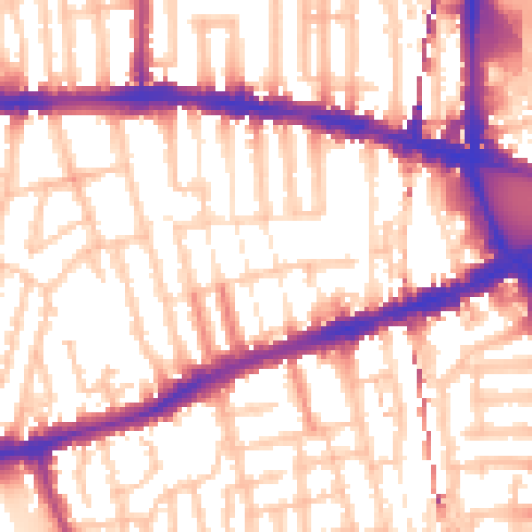
Daytime· 07:00 – 23:00
56.8dB

Night-time· 23:00 – 07:00
46.9dB