6 Acacia Avenue, Hayes, UB3 2NB
About 6 Acacia Avenue
6 Acacia Avenue is a property in Hayes (UB3 2NB). It has council tax band D.
It hasn't traded since December 2003, a hold of 22 years that's notably long for the area. Across 1996–2003, sale prices on this property compounded at 18.3% per year.
Know exactly what you're buying at 6 Acacia Avenue
Before you offer, see what the listing won't tell you, the true value, the red flags and the full history.
Already flagged here
Valuation
against the asking price
Risks
planning & flood
Sold prices
similar homes nearby
Trends
the local market
Energy performance
No EPC on record
This property doesn't have an Energy Performance Certificate yet. An EPC is required to sell or let — and unlocks our automated valuation.
Planning history
6 Acacia Avenue has no planning applications on record.
Notable planning nearby
8applications of note in the surrounding area
We flagged 1 thing worth checking at 6 Acacia Avenue
Independent checks surfaced things a buyer would want to understand before offering. The report explains each one in full, with the underlying data and what to ask.
- Signs of HMO activity in the area
30-day money-back guarantee
Sales history & valuation
Sale price has grown by over 3x since 1996.
£226,000
Growth on file: 18.3% per year over 7 years.
Sales timeline
22 December 2003Most recent
£226,000
+227.8%over 7 years29 November 1996
£68,950
Median price across the last 5 sales in UB3 2NB: £340,000 (2019–2014).
Everything we know about 6 Acacia Avenue, in one report
What it's really worth, what could be wrong, and the planning, sales and area data in full.
What we flagged
- Signs of HMO activity in the area

Similar properties nearby
1 Barra Hall Villas, Wood End
UB3 2RN
1 Chapel Court, Flat 2, 126 Church Road
UB3 2LW
1 Chamberlain Close
UB3 2GB
1 Bell House Cottages, Freemans Lane
UB3 2NL
1 Chapel Court, Flat 3, 126 Church Road
UB3 2LW
1 Chapel Court, Flat 1, 126 Church Road
UB3 2LW
1 Burbage Close
UB3 2PZ
1 Cromwell Road
UB3 2PP
The neighbourhood at a glance
Reported crime in the wider district is trending notably upward year-on-year.
Crime
8/mo
Rising year-on-year across the wider district.
Nearest stop
0.1 km
Church Road (UB3) — bus stop.
Closest school
0.2 km
Dr Triplett's CofE Primary School. 42 schools nearby.
Go deeper on the local area
The full report breaks down crime, transport links, schools and air quality in depth.
Road noise across the postcode
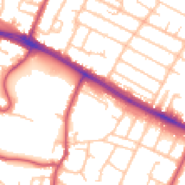
Daytime· 07:00 – 23:00
53.6dB

Night-time· 23:00 – 07:00
43.1dB