14 Hayward Avenue, St Georges, Telford, TF2 9EU
About 14 Hayward Avenue
14 Hayward Avenue is a property in St. Georges, Telford, Telford (TF2 9EU). It has council tax band A.
Energy performance
No EPC on record
This property doesn't have an Energy Performance Certificate yet. An EPC is required to sell or let — and unlocks our automated valuation.
Planning history
No planning applications are recorded against 14 Hayward Avenue, St Georges, Telford, TF2 9EU. The full report also covers planning activity across the surrounding area.
Sales history & valuation
No sales recorded with HM Land Registry
That can mean the property has never traded since the registry began publishing in 1995, was a new build that hasn't been registered yet, or is held in the same hands long-term.
Median price across the last 3 sales in TF2 9EU: £93,000 (2024–2002).
Nearby sales in TF2 9EU
Similar properties nearby
1 Abelia Way, Priorslee
TF2 9TJ
1 Abraham Drive, St Georges
TF2 9FX
1 Ainsdale Drive, Priorslee
TF2 9QJ
1 Albert Street, St Georges
TF2 9AR
1 Alderslee Close, Priorslee
TF2 9GH
1 Aldgate Close, Priorslee
TF2 9WG
1 Aldridge Close, Priorslee
TF2 9SB
1 Alfred Nock Drive, Priorslee
TF2 9YA
The neighbourhood at a glance
Crime
7/mo
Steady year-on-year across the wider district.
Nearest stop
0.2 km
Marrions Hill — bus stop.
Closest school
0.2 km
St George's Church of England Primary School. 19 schools nearby.
Road noise across the postcode
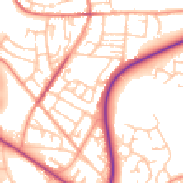
Daytime· 07:00 – 23:00
54.4dB

Night-time· 23:00 – 07:00
44.9dB