1 Lodge Road Caravan Site, Lodge Road, Donnington Wood, Telford, TF2 7QD
About 1 Lodge Road Caravan Site
1 Lodge Road Caravan Site is a property in Donnington Wood, Telford, Telford (TF2 7QD). It has council tax band A.
Energy performance
No EPC on record
This property doesn't have an Energy Performance Certificate yet. An EPC is required to sell or let — and unlocks our automated valuation.
Planning history
No planning applications are recorded against 1 Lodge Road Caravan Site, Lodge Road, Donnington Wood, Telford, TF2 7QD. The full report also covers planning activity across the surrounding area.
Sales history & valuation
No sales recorded with HM Land Registry
That can mean the property has never traded since the registry began publishing in 1995, was a new build that hasn't been registered yet, or is held in the same hands long-term.
Median price across the last 4 sales in TF2 7QD: £147,500 (2022–2004).
Similar properties nearby
1 Ambleside Way, Donnington Wood
TF2 7QE
1 Ash Lea Drive, Donnington
TF2 7NS
1 Ashmore Drive, Trench
TF2 7EN
1 Barleywood Close, Donnington
TF2 7RT
1 Barn Close, Donnington
TF2 7QT
1 Biddulph Park Place, Church Road, Wrockwardine Wood
TF2 7BD
1 Bishops Walk, Donnington Wood
TF2 7HP
1 Blythe Gardens
TF2 7NH
The neighbourhood at a glance
Crime
7/mo
Steady year-on-year across the wider district.
Nearest stop
0.2 km
Tranter Avenue — bus stop.
Closest school
0.6 km
St Matthew's Church of England Aided Primary School and Nursery Centre. 15 schools nearby.
Road noise across the postcode
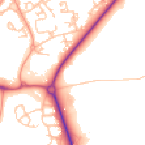
Daytime· 07:00 – 23:00
51.6dB

Night-time· 23:00 – 07:00
43.0dB