14 Festival Gardens, Arleston, Telford, TF1 2JD
About 14 Festival Gardens
14 Festival Gardens is a two-bedroom semi-detached house in Arleston, Telford, Telford (TF1 2JD). It has a recorded floor area of 72 m² (around 775 sq ft), construction records dating it to 1950-1966 and council tax band B. The latest certificate (March 2020) shows a D (score 66), on the cusp of jumping into the C band. The recommended improvements would lift it to B (score 83), a 2-band jump.
Today's modelled estimate of £188,000 sits 56.7% above the 2020 sale of £120,000. On a £-per-square-foot basis, the last sale (£155/sq ft) was about 26.1% above the typical sold price in the postcode. Sold September 2020 for £120,000.
Know exactly what you're buying at 14 Festival Gardens
Before you offer, see what the listing won't tell you, the true value, the red flags and the full history.
Valuation
against the asking price
Risks
planning & flood
Sold prices
similar homes nearby
Trends
the local market
What this property has
Inside
- Bedrooms2
- Bathrooms1
Outside
- Private gardenRear
- DrivewayYes
Energy performance
Recommended upgrades on file would lift this property by multiple EPC bands.
EPC Rating
Planning history
14 Festival Gardens has no planning applications on record.
Notable planning nearby
2applications of note in the surrounding area
Sales history & valuation
The latest sale landed in the post-pandemic price surge — useful context when reading the figure.
£188,000
Modelled from EPC, postcode comparables.
£120,000
Recorded with HM Land Registry.
Sales timeline
2 September 2020Most recent
£120,000
Median price across the last 5 sales in TF1 2JD: £145,000 (2024–2019).
Nearby sales in TF1 2JD
22 Festival Gardens, Arleston, Telford, TF1 2JD
Sold Jan 2024
£110,00030 Festival Gardens, Arleston, Telford, TF1 2JD
Sold Oct 2023
£150,00013 Festival Gardens, Arleston, Telford, TF1 2JD
Sold Aug 2023
£145,0006 Festival Gardens, Arleston, Telford, TF1 2JD
Sold Oct 2019
£121,0007 Festival Gardens, Arleston, Telford, TF1 2JD
Sold Sept 2019
£115,000
Everything we know about 14 Festival Gardens, in one report
What it's really worth, what could be wrong, and the planning, sales and area data in full.
- Am I paying too much?
- Is something wrong with it?
- Is the agent's story true?
- Will it hold its value?

Versus other Festival Gardens homes
On floor area, 14 Festival Gardens runs well behind the street norm.
Price per m²
£1,667
Street avg £1,338
Floor Area
72 m²
Street avg 81 m²
Habitable Rooms
4 rooms
Street avg 5 rooms
CO₂ Emissions
3.1 t/year
Street avg 3.4 t/year
Similar properties nearby
1 Christie Way, Wellington
TF1 2GJ
1 Braithwaite Row, Wellington
TF1 2HJ
1 Bickerstaff Court, Wellington
TF1 2HL
1 Arleston Court, Arleston
TF1 2NB
1 Chartwell Road, Arleston
TF1 2LR
1 Avondale Road, Wellington
TF1 2HD
1 Bowlers Close, Wellington
TF1 2GL
1 Birchwood Close, Arleston
TF1 2NU
The neighbourhood at a glance
Crime
5/mo
Steady year-on-year across the wider district.
Nearest stop
0.1 km
Festival Gardens — bus stop.
Closest school
0.4 km
Short Wood Primary School. 15 schools nearby.
Go deeper on the local area
The full report breaks down crime, transport links, schools and air quality in depth.
Road noise across the postcode
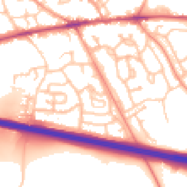
Daytime· 07:00 – 23:00
55.1dB

Night-time· 23:00 – 07:00
44.2dB