Withany, Creech St Michael, Taunton, TA3 5DP
About Withany
Withany is a property in Creech St. Michael, Taunton, Taunton (TA3 5DP).
Across 2000–2020, sale prices on this property compounded at 11.2% per year. Most recent transfer: December 2020 at £550,000.
Everything you need to know about Withany
The true value, the hidden risks and the full sale history, in one report.
Pick your report · every report is £14.99
One time fee only - money back guarantee

The data behind every report


Energy performance
No EPC on record
This property doesn't have an Energy Performance Certificate yet. An EPC is required to sell or let — and unlocks our automated valuation.
Get a survey for this property
Level 2 HomeBuyer Report
We've checked 10 risk factors against the available data for this property and believe a Level 2 HomeBuyer Report could be a suitable option for you.
Planning history
Withany has no planning applications on record.
But the area is active
1 notable application nearby — larger schemes and conversions that could reshape the street. The report maps them all.
Sales history & valuation
Latest sale on Withany was the highest on Land Registry record across the postcode.
£550,000
Growth on file: 11.2% per year over 21 years.
Sales timeline
7 December 2020Most recent
£550,000
+816.7%over 20 years21 January 2000
£60,000
Median price across the last 5 sales in TA3 5DP: £511,000 (2020–2020).
Nearby sales in TA3 5DP
3 The Bartons, Creech St Michael, Taunton, TA3 5DP
Sold Aug 2020
£540,0001 The Bartons, Creech St Michael, Taunton, TA3 5DP
Sold Jul 2020
£499,9994 The Bartons, Creech St Michael, Taunton, TA3 5DP
Sold Jun 2020
£511,0004 Sealeys Cottages, Creech St Michael, Taunton, TA3 5DP
Sold Jan 2020
£330,0002 The Bartons, Creech St Michael, Taunton, TA3 5DP
Sold Jan 2020
£522,500
Everything you need to know about Withany
The true value, the hidden risks and the full sale history, in one report.
Pick your report · every report is £14.99
One time fee only - money back guarantee
The data behind every report
Similar properties nearby
1 Fouracres, Henlade
TA3 5HU
1 Derham Close, Creech St Michael
TA3 5FG
1 Broad Close, West Hatch
TA3 5RG
1 Fairview, Bull Street, Creech St Michael
TA3 5PW
1 Cogload Farm Cottages, West Lyng
TA3 5AW
1 Anns Orchard, Creech St Michael
TA3 5PZ
1 Drakes Close, Ruishton
TA3 5LH
1 Gadbridge Cottages, Stoke St Mary
TA3 5BS
The neighbourhood at a glance
Daytime road noise here sits well below conversation level — a quiet pocket of the postcode.
Crime
3/mo
Steady year-on-year across the wider district.
Nearest stop
0.0 km
Arundells Way — bus stop.
Closest school
0.2 km
Creech St Michael Church of England Primary School. 7 schools nearby.
Go deeper on the local area
A Local Area report breaks down crime, transport links, schools and air quality in depth.
Road noise across the postcode
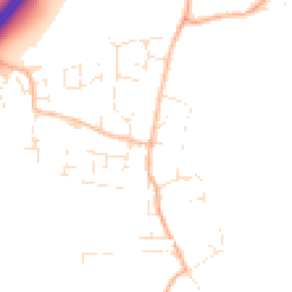
Daytime· 07:00 – 23:00
48.1dB

Night-time· 23:00 – 07:00
39.1dB