19 Bynner Street, Shrewsbury, SY3 7PB
About 19 Bynner Street
19 Bynner Street is a two-bedroom mid-terrace house in Shrewsbury (SY3 7PB). It has a recorded floor area of 102 m² (around 1098 sq ft), construction records dating it to before 1900 and council tax band B. The latest certificate (March 2020) shows a D (score 59), a step below the typical UK home. When first surveyed in February 2010 the rating was E, the property has climbed 1 band since. Between certificates, wall efficiency dropped from Good to Very Poor. The recommended improvements would lift it to B (score 85), a 2-band jump.
At 102 m² it's 23.3% larger than the typical home in the postcode (83 m² median across 12 EPCs). Across 1997–2024, sale prices on this property compounded at 5.5% per year. On a £-per-square-foot basis, the last sale (£228/sq ft) was about 45.4% above the typical sold price in the postcode. Sold September 2024 for £250,000.
What this property has
Inside
- Bedrooms2
- Bathrooms1
Everything you need to know about 19 Bynner Street
The true value, the hidden risks and the full sale history, in one report.
30-day money-back guarantee

The data behind every report


Energy performance
Recommended upgrades on file would lift this property by multiple EPC bands.
EPC Rating
Property Improvements
Changes detected from historical EPC data
Heating controls upgraded for better temperature management
Planning history
19 Bynner Street has no planning applications on record.
The full report still covers planning activity across the surrounding area.
Sales history & valuation
19 Bynner Street has more than quadrupled in price since its earliest registered sale in 1997.
£258,000
Modelled from EPC, postcode comparables and a sale-price growth of 5.5% per year over 27 years.
£250,000
Growth on file: 5.5% per year over 27 years.
Sales timeline
12 September 2024Most recent
£250,000
+49.7%over 14 years28 April 2010
£167,000
+7.7%over 4 years19 May 2005
£155,000
+66.7%over 3 years16 May 2002
£93,000
+60.3%over 4 years25 June 1997
£58,000
Median price across the last 5 sales in SY3 7PB: £193,750 (2022–2019).
Nearby sales in SY3 7PB
Versus other Bynner Street homes
Years Held for 19 Bynner Street lags the street by a wide margin.
Price per m²
£2,451
Street avg £2,251
Floor Area
102 m²
Street avg 95 m²
Habitable Rooms
4 rooms
Street avg 5 rooms
CO₂ Emissions
5.3 t/year
Street avg 4.9 t/year
Everything you need to know about 19 Bynner Street
The true value, the hidden risks and the full sale history, in one report.
30-day money-back guarantee
The data behind every report
Similar properties nearby
1 Avenue Terrace, Lime Street
SY3 7EA
1 Alton Terrace, Belle Vue Road
SY3 7LW
1 Brook Gardens, Brook Street
SY3 7QS
1 Bromfield Drive
SY3 7QE
1 Burley Street
SY3 7JJ
1 Belan Cottages, Old Coleham
SY3 7BU
1 Brougham Square, Trinity Street
SY3 7PE
1 Carline Crescent
SY3 7EU
The neighbourhood at a glance
Crime
9/mo
Steady year-on-year across the wider district.
Nearest stop
1.2 km
Bus Station Timetable — bus stop.
Closest school
0.4 km
Coleham Primary School. 18 schools nearby.
Go deeper on the local area
The full report breaks down crime, transport links, schools and air quality in depth.
Road noise across the postcode
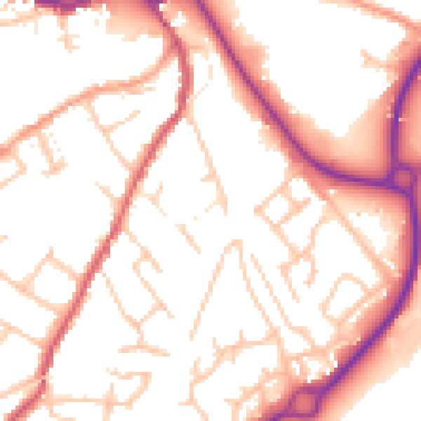
Daytime· 07:00 – 23:00
52.9dB
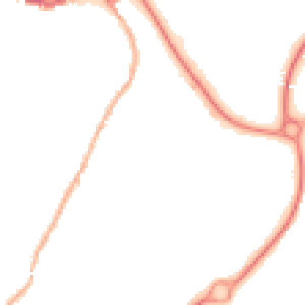
Night-time· 23:00 – 07:00
43.4dB