10 Chestnut Drive, Bayston Hill, Shrewsbury, SY3 0QQ
About 10 Chestnut Drive
10 Chestnut Drive is a detached house in Bayston Hill, Shrewsbury, Shrewsbury (SY3 0QQ). It has a recorded floor area of 95 m² (around 1023 sq ft), construction records dating it to 1976-1982 and council tax band D. The latest certificate (April 2012) shows a C (score 69), just inside the C band. The recommended improvements would push it to B (score 83). The latest certificate is from April 2012, so improvements made since then won't be reflected.
Today's modelled estimate of £333,000 sits 75.3% above the 2012 sale of £190,000. On a £-per-square-foot basis, the last sale (£186/sq ft) was about 29.8% below the postcode norm. One planning record on file: an extension approved in 2022. Past consents include an extension, meaningful when judging how the property has evolved. On the market in December 2012 and unlisted since — roughly 13 years.
Everything you need to know about 10 Chestnut Drive
The true value, the hidden risks and the full sale history, in one report.
30-day money-back guarantee

The data behind every report


Energy performance
10 Chestnut Drive's EPC is over a decade old — improvements since won't be reflected.
EPC Expired
This certificate is over 10 years old and is no longer valid.Expired 30 Apr 2022
EPC Rating
Planning history
10 Chestnut Drive has an approved single-storey extension on the planning record.
- Jul 2022ExtensionFullIn report
Extension: Single storey
Erection of a lean-to roof over existing single storey side addition
- Documents
- 6 docs on file
- Reference
- 22/02396/FUL
What's in 10 Chestnut Drive, Bayston Hill, Shrewsbury, SY3 0QQ's planning history?
Refusals, disputes and full decisions on this property and nearby, in the report.
Sales history & valuation
10 Chestnut Drive valuation sits well clear of the typical sold price in this postcode.
£333,000
Modelled from EPC, postcode comparables.
£190,000
Recorded with HM Land Registry.
Sales timeline
13 December 2012Most recent
£190,000
Median price across the last 5 sales in SY3 0QQ: £335,000 (2025–2016).
Nearby sales in SY3 0QQ
2 Chestnut Drive, Bayston Hill, Shrewsbury, SY3 0QQ
Sold Mar 2025
£335,0001 Chestnut Drive, Bayston Hill, Shrewsbury, SY3 0QQ
Sold Jan 2024
£415,0004a, Chestnut Drive, Bayston Hill, Shrewsbury, SY3 0QQ
Sold Sept 2022
£325,0005 Chestnut Drive, Bayston Hill, Shrewsbury, SY3 0QQ
Sold Dec 2016
£313,0003 Chestnut Drive, Bayston Hill, Shrewsbury, SY3 0QQ
Sold Jun 2001
£112,000
Versus other Chestnut Drive homes
CO₂ Emissions for 10 Chestnut Drive runs comfortably ahead of the street norm.
Price per m²
£2,000
Street avg £2,954
Floor Area
95 m²
Street avg 106 m²
Habitable Rooms
6 rooms
Street avg 5 rooms
CO₂ Emissions
3.3 t/year
Street avg 4.0 t/year
Everything you need to know about 10 Chestnut Drive
The true value, the hidden risks and the full sale history, in one report.
30-day money-back guarantee
The data behind every report
Similar properties nearby
1 Berwyn Drive, Bayston Hill
SY3 0JF
1 Brookfield, Bayston Hill
SY3 0LQ
1 Butcher Lane, Lythwood Road, Bayston Hill
SY3 0LZ
1 Clarkefields, Bayston Hill
SY3 0ES
1 Eric Lock Road, Bayston Hill
SY3 0HQ
1 Downey Ridge, Bayston Hill
SY3 0BF
1 Betley Villas, Betley Lane, Bayston Hill
SY3 0HE
1 Chestnut Drive, Bayston Hill
SY3 0QQ
The neighbourhood at a glance
Daytime road noise here sits well below conversation level — a quiet pocket of the postcode.
Crime
9/mo
Steady year-on-year across the wider district.
Closest school
0.6 km
Oakmeadow Church of England Primary and Nursery School. 6 schools nearby.
Go deeper on the local area
The full report breaks down crime, transport links, schools and air quality in depth.
Road noise across the postcode
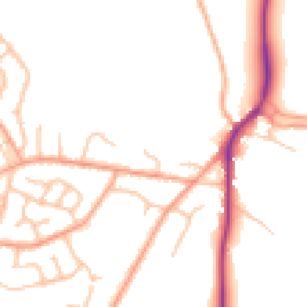
Daytime· 07:00 – 23:00
49.7dB

Night-time· 23:00 – 07:00
39.7dB