4 Woodcote Way, Shrewsbury, SY2 5SJ
About 4 Woodcote Way
4 Woodcote Way is a semi-detached house in Shrewsbury (SY2 5SJ). It has a recorded floor area of 74 m² (around 797 sq ft), construction records dating it to 1950-1966 and council tax band B. The latest certificate (August 2013) shows a C (score 73). The recommended improvements would push it to B (score 89). The latest certificate is from August 2013, so improvements made since then won't be reflected.
One historical planning record sits against the property in 2016.
Everything you need to know about 4 Woodcote Way
The true value, the hidden risks and the full sale history, in one report.
30-day money-back guarantee

The data behind every report


Energy performance
4 Woodcote Way's EPC is over a decade old — improvements since won't be reflected.
EPC Expired
This certificate is over 10 years old and is no longer valid.Expired 08 Aug 2023
EPC Rating
Planning history
- Mar 2016ConservatoryOutlineIn report
Extension: Single storey · Rear of property
Erection of a single storey rear conservatory to semi detached dwelling, dimensions 4.0 metres beyond rear wall, 3.35 metres maximum height, 2.2 metres high to eaves
- Agent
- Banbury Windows Ltd
Extension- Documents
- 4 docs on file
- Reference
- 16/00611/HHE
We flagged 1 thing worth checking at 4 Woodcote Way
Independent checks surfaced things a buyer would want to understand before offering. The report explains each one in full, with the underlying data and what to ask.
- Larger development activity nearby
30-day money-back guarantee
Sales history & valuation
4 Woodcote Way has no Land Registry sales on file, suggesting it has stayed in the same hands since registration began.
£194,000
Modelled from EPC, postcode comparables.
No sales recorded with HM Land Registry
That can mean the property has never traded since the registry began publishing in 1995, was a new build that hasn't been registered yet, or is held in the same hands long-term.
Median price across the last 5 sales in SY2 5SJ: £138,000 (2025–2007).
Nearby sales in SY2 5SJ
Versus other Woodcote Way homes
On co₂ emissions, 4 Woodcote Way stands well clear of the street.
EPC Rating
73 (C)
Street avg 69 (C)
Floor Area
74 m²
Street avg 73 m²
CO₂ Emissions
2.2 t/year
Street avg 2.8 t/year
Habitable Rooms
5 rooms
Street avg 5 rooms
Everything you need to know about 4 Woodcote Way
The true value, the hidden risks and the full sale history, in one report.
30-day money-back guarantee
The data behind every report
Similar properties nearby
The neighbourhood at a glance
Crime
1/mo
Steady year-on-year across the wider district.
Nearest stop
1.8 km
Shrewsbury Rail Station — railway station.
Closest school
0.2 km
Wilfred Owen Primary School. 17 schools nearby.
Go deeper on the local area
The full report breaks down crime, transport links, schools and air quality in depth.
Road noise across the postcode
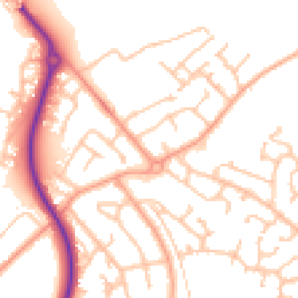
Daytime· 07:00 – 23:00
52.2dB

Night-time· 23:00 – 07:00
41.3dB