2 Woodcote Way, Shrewsbury, SY2 5SJ
About 2 Woodcote Way
2 Woodcote Way is a three-bedroom semi-detached house in Shrewsbury (SY2 5SJ). It has a recorded floor area of 74 m² (around 797 sq ft), construction records dating it to 1950-1966 and council tax band B. The latest certificate (June 2024) shows a D (score 68), on the cusp of jumping into the C band. The recommended improvements would lift it to B (score 83), a 2-band jump.
Most recent transfer was June 2025 at £195,000 — fresh data. Today's modelled estimate of £243,000 is 24.6% above the 2025 sale price. On a £-per-square-foot basis, the last sale (£245/sq ft) was about 38.7% above the typical sold price in the postcode. One historical planning record sits against the property in 2026.
What this property has
Inside
- Bedrooms3
- Bathrooms1
Everything you need to know about 2 Woodcote Way
The true value, the hidden risks and the full sale history, in one report.
30-day money-back guarantee

The data behind every report


Energy performance
Recommended upgrades on file would lift this property by multiple EPC bands.
EPC Rating
Planning history
A recent planning application at 2 Woodcote Way was refused — worth checking the council file.
- Jan 2026FullIn report
Construction of new driveway which would necessitate a dropped kerb.
- Council
- No Data
- Documents
- 6 docs on file
- Reference
- 25/04230/FUL
We flagged 2 things worth checking at 2 Woodcote Way
Independent checks surfaced things a buyer would want to understand before offering. The report explains each one in full, with the underlying data and what to ask.
- Larger development activity nearby
- A planning decision worth checking
30-day money-back guarantee
Sales history & valuation
Latest sale on 2 Woodcote Way was the highest on Land Registry record across the postcode.
£243,000
Modelled from EPC, postcode comparables.
£195,000
Recorded with HM Land Registry.
Sales timeline
5 June 2025Most recent
£195,000
Median price across the last 5 sales in SY2 5SJ: £138,000 (2019–2006).
Versus other Woodcote Way homes
On price per m², 2 Woodcote Way stands well clear of the street.
Price per m²
£2,635
Street avg £1,929
Floor Area
74 m²
Street avg 73 m²
Habitable Rooms
5 rooms
Street avg 5 rooms
CO₂ Emissions
3.0 t/year
Street avg 2.7 t/year
Everything you need to know about 2 Woodcote Way
The true value, the hidden risks and the full sale history, in one report.
30-day money-back guarantee
The data behind every report
Similar properties nearby
The neighbourhood at a glance
Crime
1/mo
Steady year-on-year across the wider district.
Nearest stop
1.8 km
Shrewsbury Rail Station — railway station.
Closest school
0.2 km
Wilfred Owen Primary School. 17 schools nearby.
Go deeper on the local area
The full report breaks down crime, transport links, schools and air quality in depth.
Road noise across the postcode
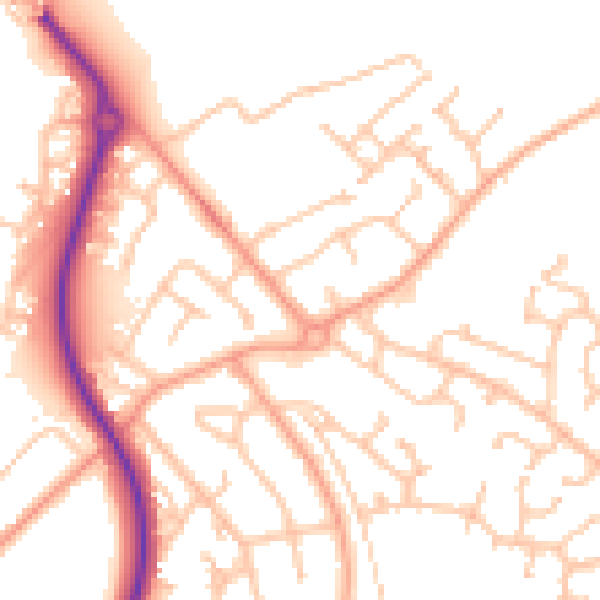
Daytime· 07:00 – 23:00
52.2dB

Night-time· 23:00 – 07:00
41.3dB