7 Bishop Street, Shrewsbury, SY2 5HA
About 7 Bishop Street
7 Bishop Street is a four-bedroom semi-detached house in Shrewsbury (SY2 5HA). It has a recorded floor area of 123 m² (around 1324 sq ft), construction records dating it to 1900-1929 and council tax band C. The latest certificate (April 2021) shows an E (score 53), well below the UK norm with real room to improve. The recommended improvements would lift it to C (score 80), a 2-band jump.
It hasn't traded since September 2009, a hold of 17 years that's notably long for the area. That sale fell during the post-crash dip, which often skews comparisons against later neighbouring sales. Across 2005–2009, sale prices on this property compounded at 11.6% per year. Today's modelled estimate of £362,000 sits 58.9% above the 2009 sale of £227,750.
What this property has
Inside
- Bedrooms4
- Bathrooms1
Everything you need to know about 7 Bishop Street
The true value, the hidden risks and the full sale history, in one report.
30-day money-back guarantee

The data behind every report


Energy performance
7 Bishop Street's carbon output runs well above what efficient homes in the postcode produce.
EPC Rating
Planning history
7 Bishop Street has no planning applications on record.
Notable planning nearby
3applications of note in the surrounding area
We flagged 1 thing worth checking at 7 Bishop Street
Independent checks surfaced things a buyer would want to understand before offering. The report explains each one in full, with the underlying data and what to ask.
- Larger development activity nearby
30-day money-back guarantee
Sales history & valuation
7 Bishop Street saw 3 transfers in just over a decade — high turnover for the postcode.
£362,000
Modelled from EPC, postcode comparables and a sale-price growth of 11.6% per year over 5 years.
£227,750
Growth on file: 11.6% per year over 5 years.
Sales timeline
24 September 2009Most recent
£227,750
+5.9%over 3 years17 March 2006
£215,000
+57.8%over 1 year24 January 2005
£136,250
Median price across the last 5 sales in SY2 5HA: £335,000 (2025–2020).
Nearby sales in SY2 5HA
Versus other Bishop Street homes
Years Held for 7 Bishop Street runs comfortably ahead of the street norm.
Price per m²
£1,852
Street avg £2,527
Floor Area
123 m²
Street avg 120 m²
Habitable Rooms
6 rooms
Street avg 6 rooms
CO₂ Emissions
7.0 t/year
Street avg 6.2 t/year
Everything you need to know about 7 Bishop Street
The true value, the hidden risks and the full sale history, in one report.
30-day money-back guarantee
The data behind every report
Similar properties nearby
1 Burkitt Close
SY2 5WN
1 Burnham Avenue
SY2 5LL
1 Belgrave Place
SY2 5LJ
1 Abbots Place
SY2 5PY
1 Brighton Terrace, Bradford Street
SY2 5DS
1 Abbots Road
SY2 5PX
1 Allness Close
SY2 5XH
1 Alvaston Way
SY2 5TT
The neighbourhood at a glance
Rail-style transport is unusually close for this postcode.
Crime
1/mo
Steady year-on-year across the wider district.
Nearest stop
1.0 km
Shrewsbury Rail Station — railway station.
Closest school
0.7 km
Crowmoor Primary School. 20 schools nearby.
Go deeper on the local area
The full report breaks down crime, transport links, schools and air quality in depth.
Road noise across the postcode
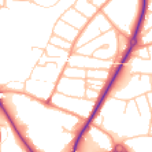
Daytime· 07:00 – 23:00
51.7dB

Night-time· 23:00 – 07:00
42.1dB