145 Monkmoor Road, Shrewsbury, SY2 5BB
About 145 Monkmoor Road
145 Monkmoor Road is a two-bedroom detached house in Shrewsbury (SY2 5BB). It has a recorded floor area of 85 m² (around 912 sq ft), construction records dating it to 1930-1949 and council tax band D. The latest certificate (July 2011) shows an E (score 52), well below the UK norm with real room to improve. The rating has held steady at E across 2 certificates since August 2009. Between certificates, roof efficiency went from Good to Very Good; while lighting dropped from Good to Poor. The latest certificate is from July 2011, so improvements made since then won't be reflected.
Across 1998–2013, sale prices on this property compounded at 2.5% per year. Today's modelled estimate of £274,000 sits 110.8% above the 2013 sale of £130,000. On a £-per-square-foot basis, the last sale (£143/sq ft) was about 19.6% below the postcode norm. One planning record on file: partial demolition approved in 2013. Past consents include partial demolition, meaningful when judging how the property has evolved. At 85 m² it's 17.4% smaller than the typical home in the postcode (103 m² median across 16 EPCs). It lags the bulk of the postcode on energy efficiency (less efficient than 81% of similar EPCs). On the market in October 2013 and unlisted since — roughly 13 years.
What this property has
Inside
- Bedrooms2
Everything you need to know about 145 Monkmoor Road
The true value, the hidden risks and the full sale history, in one report.
30-day money-back guarantee

The data behind every report


Energy performance
145 Monkmoor Road's EPC is over a decade old — improvements since won't be reflected.
EPC Expired
This certificate is over 10 years old and is no longer valid.Expired 27 Jul 2021
EPC Rating
Property Improvements
Changes detected from historical EPC data
Heating controls upgraded for better temperature management
Windows upgraded, improving insulation
Roof insulation improved
Low energy lighting percentage decreased
Planning history
Planning history includes recorded demolition works, indicating a major rebuild phase at this address.
- Jan 2013DemolitionFullIn report
Erection of a pair of semi detached dwellings to include new access following demolition of existing dwelling
- Documents
- 15 docs on file
- Reference
- 12/01511/FUL
We flagged 1 thing worth checking at 145 Monkmoor Road
Independent checks surfaced things a buyer would want to understand before offering. The report explains each one in full, with the underlying data and what to ask.
- Larger development activity nearby
30-day money-back guarantee
Sales history & valuation
145 Monkmoor Road's estimated value is more than triple its earliest registered sale price (1998).
£274,000
Modelled from EPC, postcode comparables and a sale-price growth of 2.5% per year over 15 years.
£130,000
Growth on file: 2.5% per year over 15 years.
Sales timeline
20 October 2013Most recent
£130,000
+44.5%over 15 years6 August 1998
£89,950
Median price across the last 5 sales in SY2 5BB: £310,000 (2023–2019).
Nearby sales in SY2 5BB
Versus other Monkmoor Road homes
Habitable Rooms for 145 Monkmoor Road lags the street by a wide margin.
Price per m²
£1,535
Street avg £2,077
Floor Area
85 m²
Street avg 104 m²
Habitable Rooms
4 rooms
Street avg 6 rooms
CO₂ Emissions
5.2 t/year
Street avg 4.4 t/year
Everything you need to know about 145 Monkmoor Road
The true value, the hidden risks and the full sale history, in one report.
30-day money-back guarantee
The data behind every report
Similar properties nearby
The neighbourhood at a glance
Crime
1/mo
Steady year-on-year across the wider district.
Nearest stop
1.2 km
Shrewsbury Rail Station — railway station.
Closest school
0.6 km
Crowmoor Primary School. 18 schools nearby.
Go deeper on the local area
The full report breaks down crime, transport links, schools and air quality in depth.
Road noise across the postcode
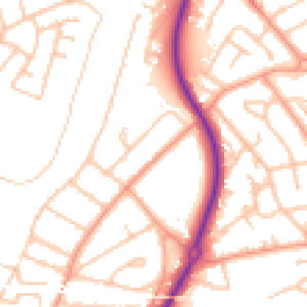
Daytime· 07:00 – 23:00
52.0dB

Night-time· 23:00 – 07:00
41.2dB