153 Monkmoor Road, Shrewsbury, SY2 5BB
About 153 Monkmoor Road
153 Monkmoor Road is a three-bedroom detached house in Shrewsbury (SY2 5BB). It has a recorded floor area of 109 m² (around 1173 sq ft), construction records dating it to 1930-1949 and council tax band D. The latest certificate (August 2015) shows a D (score 68), on the cusp of jumping into the C band. The recommended improvements would push it to C (score 80). The latest certificate is from August 2015, so improvements made since then won't be reflected. Other recorded features include a conservatory and a loft.
Today's modelled estimate of £411,000 is 37% above the 2019 sale price. On a £-per-square-foot basis, the last sale (£256/sq ft) was about 54% above the typical sold price in the postcode. Last sale on file: £300,000 in August 2019.
What this property has
Inside
- Bedrooms3
- Bathrooms2
- Dining roomYes
- LoftYes
- ConservatoryYes
Outside
- Private gardenRear
- GarageYes
Building
- Central heatingYes
- RefurbishedYes
Everything you need to know about 153 Monkmoor Road
The true value, the hidden risks and the full sale history, in one report.
30-day money-back guarantee

The data behind every report


Energy performance
EPC Expired
This certificate is over 10 years old and is no longer valid.Expired 24 Aug 2025
EPC Rating
Planning history
153 Monkmoor Road has no planning applications on record.
Notable planning nearby
3applications of note in the surrounding area
We flagged 1 thing worth checking at 153 Monkmoor Road
Independent checks surfaced things a buyer would want to understand before offering. The report explains each one in full, with the underlying data and what to ask.
- Larger development activity nearby
30-day money-back guarantee
Sales history & valuation
153 Monkmoor Road valuation sits well clear of the typical sold price in this postcode.
£411,000
Modelled from EPC, postcode comparables.
£300,000
Recorded with HM Land Registry.
Sales timeline
28 August 2019Most recent
£300,000
Median price across the last 5 sales in SY2 5BB: £310,000 (2023–2019).
Nearby sales in SY2 5BB
Versus other Monkmoor Road homes
On price per m², 153 Monkmoor Road stands well clear of the street.
Price per m²
£2,752
Street avg £1,975
Floor Area
109 m²
Street avg 103 m²
Habitable Rooms
6 rooms
Street avg 5 rooms
CO₂ Emissions
4.0 t/year
Street avg 4.5 t/year
Everything you need to know about 153 Monkmoor Road
The true value, the hidden risks and the full sale history, in one report.
30-day money-back guarantee
The data behind every report
Similar properties nearby
The neighbourhood at a glance
Crime
1/mo
Steady year-on-year across the wider district.
Nearest stop
1.2 km
Shrewsbury Rail Station — railway station.
Closest school
0.6 km
Crowmoor Primary School. 18 schools nearby.
Go deeper on the local area
The full report breaks down crime, transport links, schools and air quality in depth.
Road noise across the postcode
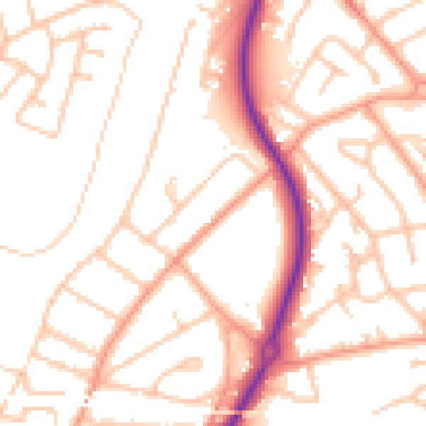
Daytime· 07:00 – 23:00
52.0dB

Night-time· 23:00 – 07:00
41.2dB