21 Monkmoor Road, Shrewsbury, SY2 5AG
About 21 Monkmoor Road
21 Monkmoor Road is a three-bedroom end-of-terrace house in Shrewsbury (SY2 5AG). It has a recorded floor area of 104 m² (around 1119 sq ft), construction records dating it to before 1900 and council tax band B. The latest certificate (October 2015) shows a D (score 59), a step below the typical UK home. The recommended improvements would lift it to B (score 83), a 2-band jump. The latest certificate is from October 2015, so improvements made since then won't be reflected.
Today's modelled estimate of £315,000 is 12.5% above the 2022 sale price. On a £-per-square-foot basis, the last sale (£250/sq ft) was about 35.8% above the typical sold price in the postcode. Sold July 2022 for £280,000. That sale was during the post-pandemic price surge, when transactions cleared materially above pre-2020 trend.
What this property has
Inside
- Bedrooms3
- Bathrooms1
Everything you need to know about 21 Monkmoor Road
The true value, the hidden risks and the full sale history, in one report.
30-day money-back guarantee

The data behind every report


Energy performance
Recommended upgrades on file would lift this property by multiple EPC bands.
EPC Expired
This certificate is over 10 years old and is no longer valid.Expired 29 Oct 2025
EPC Rating
Planning history
21 Monkmoor Road has no planning applications on record.
Notable planning nearby
3applications of note in the surrounding area
We flagged 1 thing worth checking at 21 Monkmoor Road
Independent checks surfaced things a buyer would want to understand before offering. The report explains each one in full, with the underlying data and what to ask.
- Larger development activity nearby
30-day money-back guarantee
Sales history & valuation
The latest sale landed in the post-pandemic price surge — useful context when reading the figure.
£315,000
Modelled from EPC, postcode comparables.
£280,000
Recorded with HM Land Registry.
Sales timeline
28 July 2022Most recent
£280,000
Median price across the last 5 sales in SY2 5AG: £210,000 (2022–2015).
Nearby sales in SY2 5AG
Versus other Monkmoor Road homes
On price per m², 21 Monkmoor Road stands well clear of the street.
Price per m²
£2,692
Street avg £2,373
Floor Area
104 m²
Street avg 106 m²
Habitable Rooms
5 rooms
Street avg 6 rooms
CO₂ Emissions
5.3 t/year
Street avg 5.7 t/year
Everything you need to know about 21 Monkmoor Road
The true value, the hidden risks and the full sale history, in one report.
30-day money-back guarantee
The data behind every report
Similar properties nearby
The neighbourhood at a glance
Rail-style transport is unusually close for this postcode.
Crime
1/mo
Steady year-on-year across the wider district.
Nearest stop
0.9 km
Shrewsbury Rail Station — railway station.
Closest school
0.8 km
Coleham Primary School. 20 schools nearby.
Go deeper on the local area
The full report breaks down crime, transport links, schools and air quality in depth.
Road noise across the postcode
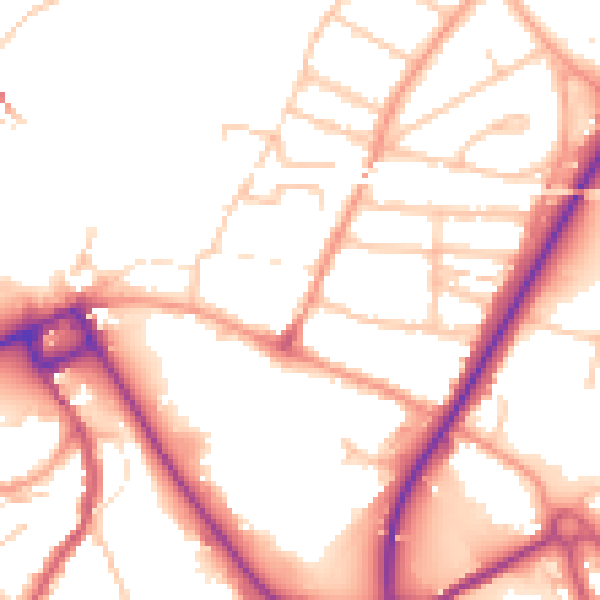
Daytime· 07:00 – 23:00
52.0dB

Night-time· 23:00 – 07:00
43.0dB