5 Chevin Close, Shrewsbury, SY1 3RJ
About 5 Chevin Close
5 Chevin Close is a four-bedroom end-of-terrace house in Shrewsbury (SY1 3RJ). It has a recorded floor area of 107 m² (around 1152 sq ft), construction records dating it to 1976-1982 and council tax band B. The latest certificate (February 2025) shows a D (score 61), on the cusp of jumping into the C band. The recommended improvements would lift it to B (score 83), a 2-band jump.
At 107 m² the property is well over the postcode median (79 m² across 21 EPCs), placing it in the larger end of the local stock. It changed hands recently, sold July 2025 for £235,000. Today's modelled estimate of £266,000 is 13.2% above the 2025 sale price. On a £-per-square-foot basis, the last sale (£204/sq ft) was about 23.4% above the typical sold price in the postcode.
What this property has
Inside
- Bedrooms4
- Bathrooms1
Outside
- Private gardenYes
Everything you need to know about 5 Chevin Close
The true value, the hidden risks and the full sale history, in one report.
30-day money-back guarantee

The data behind every report


Energy performance
Recommended upgrades on file would lift this property by multiple EPC bands.
EPC Rating
Planning history
5 Chevin Close has no planning applications on record.
Notable planning nearby
2applications of note in the surrounding area
We flagged 1 thing worth checking at 5 Chevin Close
Independent checks surfaced things a buyer would want to understand before offering. The report explains each one in full, with the underlying data and what to ask.
- Larger development activity nearby
30-day money-back guarantee
Sales history & valuation
5 Chevin Close valuation sits well clear of the typical sold price in this postcode.
£266,000
Modelled from EPC, postcode comparables.
£235,000
Recorded with HM Land Registry.
Sales timeline
13 July 2025Most recent
£235,000
Median price across the last 5 sales in SY1 3RJ: £210,000 (2025–2023).
Nearby sales in SY1 3RJ
Versus other Chevin Close homes
5 Chevin Close is notably below the street on years held.
Price per m²
£2,196
Street avg £2,198
Floor Area
107 m²
Street avg 82 m²
Habitable Rooms
6 rooms
Street avg 5 rooms
CO₂ Emissions
4.9 t/year
Street avg 3.8 t/year
Everything you need to know about 5 Chevin Close
The true value, the hidden risks and the full sale history, in one report.
30-day money-back guarantee
The data behind every report
Similar properties nearby
The neighbourhood at a glance
Reported crime in the wider district is trending notably upward year-on-year.
Crime
10/mo
Rising year-on-year across the wider district.
Closest school
0.1 km
Greenacres Primary School. 10 schools nearby.
Go deeper on the local area
The full report breaks down crime, transport links, schools and air quality in depth.
Road noise across the postcode
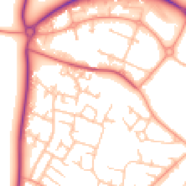
Daytime· 07:00 – 23:00
53.4dB

Night-time· 23:00 – 07:00
43.3dB