1 Chevin Close, Shrewsbury, SY1 3RJ
About 1 Chevin Close
1 Chevin Close is a three-bedroom semi-detached house in Shrewsbury (SY1 3RJ). It has a recorded floor area of 88 m² (around 947 sq ft), construction records dating it to 1967-1975 and council tax band B. The latest certificate (June 2015) shows a D (score 56), a step below the typical UK home. The recommended improvements would lift it to B (score 81), a 2-band jump. The latest certificate is from June 2015, so improvements made since then won't be reflected.
Today's modelled estimate of £240,000 sits 52.4% above the 2015 sale of £157,500. 11 years since the last transfer (August 2015).
What this property has
Inside
- Bedrooms3
- Bathrooms1
- Dining roomYes
- CloakroomYes
Outside
- Private gardenYes
- GarageYes
Building
- RefurbishedYes
Everything you need to know about 1 Chevin Close
The true value, the hidden risks and the full sale history, in one report.
30-day money-back guarantee

The data behind every report


Energy performance
Recommended upgrades on file would lift this property by multiple EPC bands.
EPC Expired
This certificate is over 10 years old and is no longer valid.Expired 15 Jun 2025
EPC Rating
Planning history
1 Chevin Close has no planning applications on record.
Notable planning nearby
2applications of note in the surrounding area
We flagged 1 thing worth checking at 1 Chevin Close
Independent checks surfaced things a buyer would want to understand before offering. The report explains each one in full, with the underlying data and what to ask.
- Larger development activity nearby
30-day money-back guarantee
Sales history & valuation
1 Chevin Close valuation sits well clear of the typical sold price in this postcode.
£240,000
Modelled from EPC, postcode comparables.
£157,500
Recorded with HM Land Registry.
Sales timeline
13 August 2015Most recent
£157,500
Median price across the last 5 sales in SY1 3RJ: £235,000 (2025–2024).
Nearby sales in SY1 3RJ
Versus other Chevin Close homes
On habitable rooms, 1 Chevin Close stands well clear of the street.
Price per m²
£1,790
Street avg £2,223
Floor Area
88 m²
Street avg 83 m²
Habitable Rooms
6 rooms
Street avg 5 rooms
CO₂ Emissions
4.8 t/year
Street avg 3.8 t/year
Everything you need to know about 1 Chevin Close
The true value, the hidden risks and the full sale history, in one report.
30-day money-back guarantee
The data behind every report
Similar properties nearby
The neighbourhood at a glance
Reported crime in the wider district is trending notably upward year-on-year.
Crime
10/mo
Rising year-on-year across the wider district.
Closest school
0.1 km
Greenacres Primary School. 10 schools nearby.
Go deeper on the local area
The full report breaks down crime, transport links, schools and air quality in depth.
Road noise across the postcode
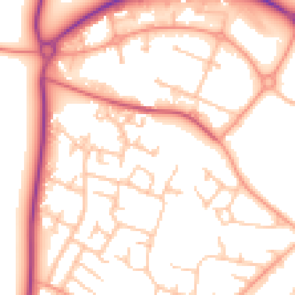
Daytime· 07:00 – 23:00
53.4dB

Night-time· 23:00 – 07:00
43.3dB