23 Chevin Close, Shrewsbury, SY1 3RJ
About 23 Chevin Close
23 Chevin Close is a three-bedroom semi-detached house in Shrewsbury (SY1 3RJ). It has a recorded floor area of 77 m² (around 829 sq ft), construction records dating it to 1950-1966 and council tax band B. The property has solar panels on record, all of which lower running costs and tend to lift resale appeal. Other recorded features include attached land beyond the plot. The home occupies a cul-de-sac position. The latest certificate (October 2023) shows a C (score 69), just inside the C band. The recommended improvements would push it to B (score 85).
Today's modelled estimate of £239,000 is 13.8% above the 2024 sale price. On a £-per-square-foot basis, the last sale (£253/sq ft) was about 53.3% above the typical sold price in the postcode. Last sale on file: £210,000 in March 2024.
What this property has
Inside
- Bedrooms3
- Bathrooms1
- EnsuiteYes
Outside
- GarageYes
- LandYes
- Cul-de-sacYes
Building
- Heating systemGas
- Solar panelsYes
- RefurbishedYes
Everything you need to know about 23 Chevin Close
The true value, the hidden risks and the full sale history, in one report.
30-day money-back guarantee

The data behind every report


Energy performance
EPC Rating
Planning history
23 Chevin Close has no planning applications on record.
Notable planning nearby
2applications of note in the surrounding area
We flagged 1 thing worth checking at 23 Chevin Close
Independent checks surfaced things a buyer would want to understand before offering. The report explains each one in full, with the underlying data and what to ask.
- Larger development activity nearby
30-day money-back guarantee
Sales history & valuation
23 Chevin Close valuation sits well clear of the typical sold price in this postcode.
£239,000
Modelled from EPC, postcode comparables.
£210,000
Recorded with HM Land Registry.
Sales timeline
11 March 2024Most recent
£210,000
Median price across the last 5 sales in SY1 3RJ: £235,000 (2025–2023).
Nearby sales in SY1 3RJ
Versus other Chevin Close homes
On floor area, 23 Chevin Close runs well behind the street norm.
Price per m²
£2,727
Street avg £2,164
Floor Area
77 m²
Street avg 83 m²
Habitable Rooms
4 rooms
Street avg 5 rooms
CO₂ Emissions
2.8 t/year
Street avg 3.9 t/year
Everything you need to know about 23 Chevin Close
The true value, the hidden risks and the full sale history, in one report.
30-day money-back guarantee
The data behind every report
Similar properties nearby
The neighbourhood at a glance
Reported crime in the wider district is trending notably upward year-on-year.
Crime
10/mo
Rising year-on-year across the wider district.
Closest school
0.1 km
Greenacres Primary School. 10 schools nearby.
Go deeper on the local area
The full report breaks down crime, transport links, schools and air quality in depth.
Road noise across the postcode
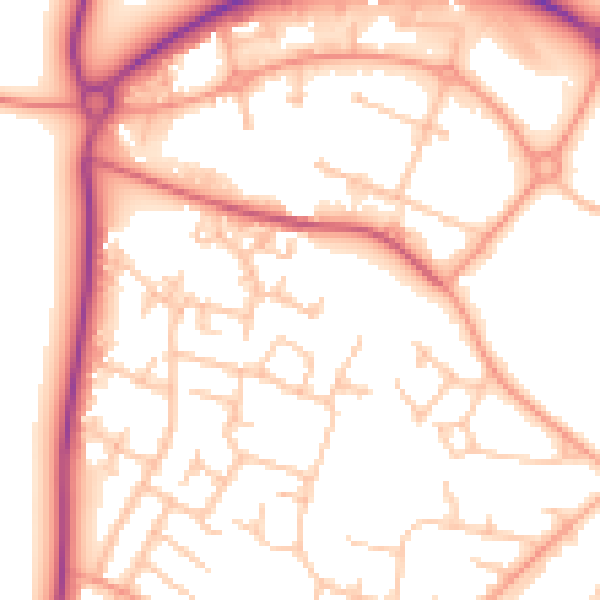
Daytime· 07:00 – 23:00
53.4dB

Night-time· 23:00 – 07:00
43.3dB