3 Argyll Street, Shrewsbury, SY1 2SF
About 3 Argyll Street
3 Argyll Street is a two-bedroom mid-terrace house in Shrewsbury (SY1 2SF). It has a recorded floor area of 61 m² (around 657 sq ft), construction records dating it to before 1900 and council tax band A. The latest certificate (March 2025) shows a D (score 64), on the cusp of jumping into the C band. The recommended improvements would lift it to B (score 82), a 2-band jump.
It hasn't traded since June 2005, a hold of 21 years that's notably long for the area. Across the public record there are 4 sales, relatively high churn for a single property. Across 1999–2005, sale prices on this property compounded at 15.5% per year. Today's modelled estimate of £166,000 sits 50.9% above the 2005 sale of £110,000.
What this property has
Inside
- Bedrooms2
Everything you need to know about 3 Argyll Street
The true value, the hidden risks and the full sale history, in one report.
30-day money-back guarantee

The data behind every report


Energy performance
Recommended upgrades on file would lift this property by multiple EPC bands.
EPC Rating
Planning history
3 Argyll Street has no planning applications on record.
Notable planning nearby
2applications of note in the surrounding area
Sales history & valuation
3 Argyll Street has more than doubled in price since the earliest registered sale in 1999.
£166,000
Modelled from EPC, postcode comparables and a sale-price growth of 15.5% per year over 6 years.
£110,000
Growth on file: 15.5% per year over 6 years.
Sales timeline
9 June 2005Most recent
£110,000
+37.5%over 2 years8 August 2002
£79,995
+15.9%8 February 2002
£69,000
+51.6%over 2 years29 April 1999
£45,500
Median price across the last 5 sales in SY1 2SF: £178,000 (2025–2020).
Nearby sales in SY1 2SF
Versus other Argyll Street homes
On epc rating, 3 Argyll Street runs well behind the street norm.
Price per m²
£1,803
Street avg £1,995
Floor Area
61 m²
Street avg 60 m²
Habitable Rooms
4 rooms
Street avg 3 rooms
CO₂ Emissions
2.9 t/year
Street avg 2.7 t/year
Everything you need to know about 3 Argyll Street
The true value, the hidden risks and the full sale history, in one report.
30-day money-back guarantee
The data behind every report
Similar properties nearby
1 Cornmill Square
SY1 2LQ
1 Albert Street
SY1 2HT
1 Argyll Street
SY1 2SF
1 Albafont Terrace, Severn Street
SY1 2HY
1 Benbow Quay
SY1 2DL
1 Broome Place
SY1 2DS
1 Coton Manor, Berwick Road
SY1 2LT
1 Corporation Lane
SY1 2PB
The neighbourhood at a glance
Rail-style transport is unusually close for this postcode.
Crime
10/mo
Rising year-on-year across the wider district.
Nearest stop
0.7 km
Shrewsbury Rail Station — railway station.
Closest school
0.4 km
Shrewsbury Cathedral Catholic Primary School and Nursery. 20 schools nearby.
Go deeper on the local area
The full report breaks down crime, transport links, schools and air quality in depth.
Road noise across the postcode
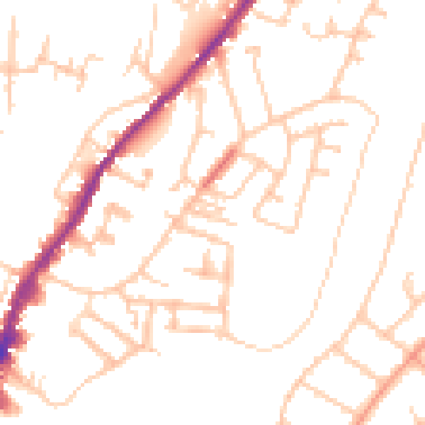
Daytime· 07:00 – 23:00
49.6dB

Night-time· 23:00 – 07:00
39.7dB