18 Cornmill Square, Shrewsbury, SY1 2LQ
About 18 Cornmill Square
18 Cornmill Square is a three-bedroom mid-terrace house in Shrewsbury (SY1 2LQ). It has a recorded floor area of 107 m² (around 1152 sq ft), construction records dating it to 1996-2002 and council tax band D. The latest certificate (October 2020) returns a B (score 81), comfortably above the UK average. Other recorded features include a balcony. Period features are noted in the property record.
At 107 m² the property is well over the postcode median (75 m² across 19 EPCs), placing it in the larger end of the local stock. Last changed hands 10 years ago, in August 2016. Across 2003–2016, sale prices on this property compounded at 3.6% per year. Today's modelled estimate of £263,000 is 20.6% above the 2016 sale price.
What this property has
Inside
- Bedrooms3
- Bathrooms2
- Dining roomYes
Outside
- Communal gardenYes
- ParkingAllocated
- BalconyYes
Building
- Heating systemGas
- Period featuresYes
Everything you need to know about 18 Cornmill Square
The true value, the hidden risks and the full sale history, in one report.
30-day money-back guarantee

The data behind every report


Energy performance
EPC Rating
Planning history
18 Cornmill Square has no planning applications on record.
Notable planning nearby
2applications of note in the surrounding area
Sales history & valuation
18 Cornmill Square valuation sits well clear of the typical sold price in this postcode.
£263,000
Modelled from EPC, postcode comparables and a sale-price growth of 3.6% per year over 13 years.
£218,000
Growth on file: 3.6% per year over 13 years.
Sales timeline
1 August 2016Most recent
£218,000
+60.3%over 13 years3 April 2003
£136,000
Median price across the last 5 sales in SY1 2LQ: £175,000 (2024–2023).
Nearby sales in SY1 2LQ
Versus other Cornmill Square homes
Floor Area for 18 Cornmill Square runs comfortably ahead of the street norm.
Price per m²
£2,037
Street avg £2,112
Floor Area
107 m²
Street avg 79 m²
Habitable Rooms
5 rooms
Street avg 4 rooms
CO₂ Emissions
2.0 t/year
Street avg 1.7 t/year
Everything you need to know about 18 Cornmill Square
The true value, the hidden risks and the full sale history, in one report.
30-day money-back guarantee
The data behind every report
Similar properties nearby
The neighbourhood at a glance
Rail-style transport is unusually close for this postcode.
Crime
10/mo
Rising year-on-year across the wider district.
Nearest stop
0.4 km
Shrewsbury Rail Station — railway station.
Closest school
0.7 km
Shrewsbury Cathedral Catholic Primary School and Nursery. 22 schools nearby.
Go deeper on the local area
The full report breaks down crime, transport links, schools and air quality in depth.
Road noise across the postcode
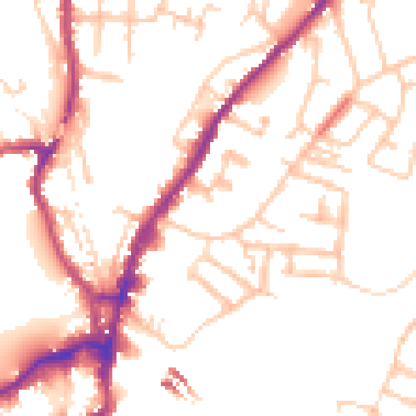
Daytime· 07:00 – 23:00
51.1dB

Night-time· 23:00 – 07:00
42.2dB