57 Benbow Quay, Shrewsbury, SY1 2DL
About 57 Benbow Quay
57 Benbow Quay is a one-bedroom mid-terrace house in Shrewsbury (SY1 2DL). It has a recorded floor area of 60 m² (around 646 sq ft), construction records dating it to 2007-2011 and council tax band A. At 60 m² this is the 59th smallest of 90 units on EPC record in the building, where floor areas span 41–128 m². The building's EPC ratings span F to B across 90 units on file. The latest certificate (April 2022) shows a C (score 79), near the top of the C band. The recommended improvements would push it to B (score 87). Main heating runs on electricity.
Most recent transfer was February 2025 at £145,000 — fresh data. 1 bedrooms is on the smaller side for this postcode, where 3 is the typical count.
What this property has
Inside
- Bedrooms1
- Bathrooms1
Everything you need to know about 57 Benbow Quay
The true value, the hidden risks and the full sale history, in one report.
30-day money-back guarantee

The data behind every report


Energy performance
57 Benbow Quay's carbon output is low for the local stock.
EPC Rating
Planning history
57 Benbow Quay has no planning applications on record.
Notable planning nearby
2applications of note in the surrounding area
Sales history & valuation
£152,000
Modelled from EPC, postcode comparables.
£145,000
Recorded with HM Land Registry.
Sales timeline
3 February 2025Most recent
£145,000
Median price across the last 5 sales in SY1 2DL: £160,000 (2025–2024).
Nearby sales in SY1 2DL
Versus other Benbow Quay homes
EPC Rating for 57 Benbow Quay runs comfortably ahead of the street norm.
Price per m²
£2,417
Street avg £2,367
Floor Area
60 m²
Street avg 54 m²
Habitable Rooms
2 rooms
Street avg 3 rooms
CO₂ Emissions
1.5 t/year
Street avg 2.0 t/year
Everything you need to know about 57 Benbow Quay
The true value, the hidden risks and the full sale history, in one report.
30-day money-back guarantee
The data behind every report
Similar properties nearby
1 Cornmill Square
SY1 2LQ
1 Albert Street
SY1 2HT
1 Argyll Street
SY1 2SF
1 Albafont Terrace, Severn Street
SY1 2HY
1 Benbow Quay
SY1 2DL
1 Broome Place
SY1 2DS
1 Coton Manor, Berwick Road
SY1 2LT
1 Corporation Lane
SY1 2PB
The neighbourhood at a glance
Rail-style transport is unusually close for this postcode.
Crime
10/mo
Rising year-on-year across the wider district.
Nearest stop
0.3 km
Shrewsbury Rail Station — railway station.
Closest school
0.7 km
Greenfields Primary School. 21 schools nearby.
Go deeper on the local area
The full report breaks down crime, transport links, schools and air quality in depth.
Road noise across the postcode
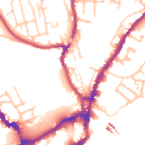
Daytime· 07:00 – 23:00
52.0dB

Night-time· 23:00 – 07:00
43.6dB