Red Lion Cottage, Cellarhead Road, Werrington, Stoke On Trent, ST9 0DH
About Red Lion Cottage
Red Lion Cottage is a property in Werrington, Stoke-On-Trent, Stoke On Trent (ST9 0DH). It has council tax band D.
Held since July 2001 — that's 25 years off the open market, well above the local norm.
Everything you need to know about Red Lion Cottage
The true value, the hidden risks and the full sale history, in one report.
Pick your report · every report is £14.99
One time fee only - money back guarantee

The data behind every report


Energy performance
No EPC on record
This property doesn't have an Energy Performance Certificate yet. An EPC is required to sell or let — and unlocks our automated valuation.
Get a survey for this property
Level 2 HomeBuyer Report
We've checked 10 risk factors against the available data for this property and believe a Level 2 HomeBuyer Report could be a suitable option for you.
Planning history
Red Lion Cottage has no planning applications on record.
But the area is active
5 notable applications nearby — larger schemes and conversions that could reshape the street. The report maps them all.
Sales history & valuation
£113,000
Recorded with HM Land Registry.
Sales timeline
19 July 2001Most recent
£113,000
Median price across the last 5 sales in ST9 0DH: £195,000 (2021–2006).
Nearby sales in ST9 0DH
3 Cellarhead Road, Werrington, Stoke On Trent, ST9 0DH
Sold Dec 2021
£120,0008 Cellarhead Road, Werrington, Stoke On Trent, ST9 0DH
Sold Jul 2014
£269,5004a, Cellarhead Road, Werrington, Stoke On Trent, ST9 0DH
Sold Aug 2010
£178,00010a, Cellarhead Road, Werrington, Stoke On Trent, ST9 0DH
Sold Apr 2006
£195,00010 Cellarhead Road, Werrington, Stoke On Trent, ST9 0DH
Sold Dec 1997
£44,000
Everything you need to know about Red Lion Cottage
The true value, the hidden risks and the full sale history, in one report.
Pick your report · every report is £14.99
One time fee only - money back guarantee
The data behind every report
Similar properties nearby
1 Cherry Gardens, Werrington
ST9 0FA
1 Cellarhead Road, Werrington
ST9 0DH
1 Irvine Road, Werrington
ST9 0DR
1 Haven Crescent, Werrington
ST9 0EY
1 Brentwood Grove, Werrington
ST9 0AH
1 Blithfield Close, Werrington
ST9 0PJ
1 Cotehill Road, Werrington
ST9 0LN
1 Alan Dale, Werrington
ST9 0EN
The neighbourhood at a glance
Daytime road noise here sits well below conversation level — a quiet pocket of the postcode.
Crime
2/mo
Steady year-on-year across the wider district.
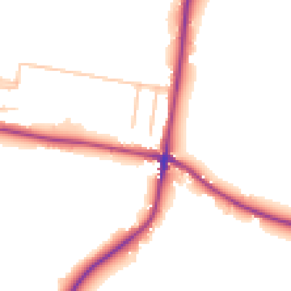
Nearest stop
0.0 km
Crossroads — bus stop.
Closest school
0.4 km
Moorside High School. 3 schools nearby.
Go deeper on the local area
A Local Area report breaks down crime, transport links, schools and air quality in depth.
Road noise across the postcode
Daytime· 07:00 – 23:00
49.6dB

Night-time· 23:00 – 07:00
43.5dB