Stretton Mill, The Croft, Stretton, Stafford, ST19 9LH
About Stretton Mill
Stretton Mill is a detached house in Stretton, Stafford, Stafford (ST19 9LH). It has a recorded floor area of 169 m² (around 1819 sq ft). The latest certificate (April 2015) shows a C (score 78), near the top of the C band. The recommended improvements would push it to B (score 87). Main heating runs on electricity: electricity, unspecified tariff. The latest certificate is from April 2015, so improvements made since then won't be reflected.
Know exactly what you're buying at Stretton Mill
Before you offer, see what the listing won't tell you, the true value, the red flags and the full history.
Already flagged here
Valuation
against the asking price
Risks
planning & flood
Sold prices
similar homes nearby
Trends
the local market
Energy performance
Stretton Mill's EPC is over a decade old — improvements since won't be reflected.
EPC Expired
This certificate is over 10 years old and is no longer valid.Expired 15 Apr 2025
EPC Rating
Planning history
Stretton Mill has no planning applications on record.
Notable planning nearby
5applications of note in the surrounding area
We flagged 1 thing worth checking at Stretton Mill
Independent checks surfaced things a buyer would want to understand before offering. The report explains each one in full, with the underlying data and what to ask.
- Larger development activity nearby
30-day money-back guarantee
Sales history & valuation
Stretton Mill has no Land Registry sales on file, suggesting it has stayed in the same hands since registration began.
£593,000
Modelled from EPC, postcode comparables.
No sales recorded with HM Land Registry
That can mean the property has never traded since the registry began publishing in 1995, was a new build that hasn't been registered yet, or is held in the same hands long-term.
Median price across the last 5 sales in ST19 9LH: £705,000 (2017–2016).
Nearby sales in ST19 9LH
5 Stretton Mill, Stretton, Stafford, ST19 9LH
Sold Nov 2017
£725,000Stretton Mill, The Farmhouse, Stretton, Stafford, ST19 9LH
Sold Aug 2017
£705,0004 Stretton Mill, Stretton, Stafford, ST19 9LH
Sold Jul 2017
£705,000Stretton Mill, The Water Mill, Stretton, Stafford, ST19 9LH
Sold Dec 2016
£583,000Stretton Mill, Mill Barn, Stretton, Stafford, ST19 9LH
Sold Apr 2016
£500,000
Everything we know about Stretton Mill, in one report
What it's really worth, what could be wrong, and the planning, sales and area data in full.
What we flagged
- Larger development activity nearby

Versus the street
On epc rating, Stretton Mill stands well clear of the street.
EPC Rating
78 (C)
Street avg 55 (D)
Floor Area
169 m²
Street avg 198 m²
CO₂ Emissions
3.0 t/year
Street avg 9.4 t/year
Similar properties nearby
1 Admiral Rodney Gardens, Brewood
ST19 9FA
1 Cuttlestone Court, Frog Lane, Wheaton Aston
ST19 9NW
1 Deacons Field, Brewood
ST19 9GA
1 Coach Gardens, Wheaton Aston
ST19 9NZ
1 Crestwood Park, Brewood
ST19 9JD
1 Ash Grove, Wheaton Aston
ST19 9PJ
1 Bargate Stables, Bargate Lane, Brewood
ST19 9EG
1 Brookside Gardens, Bishops Wood
ST19 9AL
The neighbourhood at a glance
Crime
3/mo
Steady year-on-year across the wider district.
Nearest stop
1.6 km
Spread Eagle PH — bus stop.
Closest school
2.5 km
St Mary's Catholic Primary School. 5 schools nearby.
Go deeper on the local area
The full report breaks down crime, transport links, schools and air quality in depth.
Road noise across the postcode
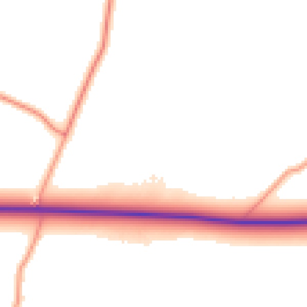
Daytime· 07:00 – 23:00
50.6dB

Night-time· 23:00 – 07:00
42.3dB