Stretton Mill, Mill Barn, Stretton, Stafford, ST19 9LH
About Stretton Mill
Stretton Mill is a detached house in Stretton, Stafford, Stafford (ST19 9LH). It has a recorded floor area of 191 m² (around 2056 sq ft), construction records dating it to 2012-2021 and council tax band G. The latest certificate (August 2025) shows a C (score 70). The rating has held steady at C across 2 certificates since April 2015. Between certificates, wall efficiency dropped from Very Good to Good and window efficiency dropped from Very Good to Average. Main heating runs on oil.
Today's modelled estimate of £775,000 sits 55% above the 2016 sale of £500,000. 4 planning records sit against the property, 2 approved, 2 refused. Past consents include an extension, meaningful when judging how the property has evolved. Last changed hands 10 years ago, in April 2016.
Know exactly what you're buying at Stretton Mill
Before you offer, see what the listing won't tell you, the true value, the red flags and the full history.
Already flagged here
Valuation
against the asking price
Risks
planning & flood
Sold prices
similar homes nearby
Trends
the local market
Energy performance
EPC Rating
Planning history
A recent planning application at Stretton Mill was refused — worth checking the council file.
- Apr 2026ConditionsIn report
Discharge of Condition 3 (materials) of application 25/00418/FULHH
- Documents
- 5 docs on file
- Reference
- 25/00418/COND
- Apr 2026ConditionsIn report
Discharge of Condition 3 (materials) of application 25/00672/LBC
- Documents
- 5 docs on file
- Reference
- 25/00672/COND
We flagged 2 things worth checking at Stretton Mill
Independent checks surfaced things a buyer would want to understand before offering. The report explains each one in full, with the underlying data and what to ask.
- Larger development activity nearby
- A planning decision worth checking
30-day money-back guarantee
Sales history & valuation
£775,000
Modelled from EPC, postcode comparables.
£500,000
Recorded with HM Land Registry.
Sales timeline
14 April 2016Most recent
£500,000
Median price across the last 5 sales in ST19 9LH: £705,000 (2017–2015).
Nearby sales in ST19 9LH
5 Stretton Mill, Stretton, Stafford, ST19 9LH
Sold Nov 2017
£725,000Stretton Mill, The Farmhouse, Stretton, Stafford, ST19 9LH
Sold Aug 2017
£705,0004 Stretton Mill, Stretton, Stafford, ST19 9LH
Sold Jul 2017
£705,000Stretton Mill, The Water Mill, Stretton, Stafford, ST19 9LH
Sold Dec 2016
£583,0001 Rudge Cottages, Stretton, Stafford, ST19 9LH
Sold Dec 2015
£476,000
Everything we know about Stretton Mill, in one report
What it's really worth, what could be wrong, and the planning, sales and area data in full.
What we flagged
- Larger development activity nearby
- A planning decision worth checking

Versus the street
Price per m²
£2,618
Street avg £3,312
Floor Area
191 m²
Street avg 193 m²
Habitable Rooms
6 rooms
Street avg 6 rooms
CO₂ Emissions
5.6 t/year
Street avg 8.8 t/year
Similar properties nearby
1 Admiral Rodney Gardens, Brewood
ST19 9FA
1 Cuttlestone Court, Frog Lane, Wheaton Aston
ST19 9NW
1 Deacons Field, Brewood
ST19 9GA
1 Coach Gardens, Wheaton Aston
ST19 9NZ
1 Crestwood Park, Brewood
ST19 9JD
1 Ash Grove, Wheaton Aston
ST19 9PJ
1 Bargate Stables, Bargate Lane, Brewood
ST19 9EG
1 Brookside Gardens, Bishops Wood
ST19 9AL
The neighbourhood at a glance
Crime
3/mo
Steady year-on-year across the wider district.
Nearest stop
1.6 km
Spread Eagle PH — bus stop.
Closest school
2.5 km
St Mary's Catholic Primary School. 5 schools nearby.
Go deeper on the local area
The full report breaks down crime, transport links, schools and air quality in depth.
Road noise across the postcode
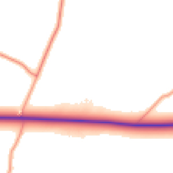
Daytime· 07:00 – 23:00
50.6dB

Night-time· 23:00 – 07:00
42.3dB