15 Braunton Avenue, Stafford, ST17 0EP
About 15 Braunton Avenue
15 Braunton Avenue is a property in Stafford (ST17 0EP). It has council tax band D.
Untraded for 20 years, with the last transfer in December 2005. One historical planning record sits against the property in 2012.
Everything you need to know about 15 Braunton Avenue
The true value, the hidden risks and the full sale history, in one report.
Pick your report · every report is £14.99
One time fee only - money back guarantee

The data behind every report


Energy performance
No EPC on record
This property doesn't have an Energy Performance Certificate yet. An EPC is required to sell or let — and unlocks our automated valuation.
Get a survey for this property
Level 2 HomeBuyer Report
We've checked 10 risk factors against the available data for this property and believe a Level 2 HomeBuyer Report could be a suitable option for you.
Planning history
1 application on record at 15 Braunton Avenue, Stafford, ST17 0EP
- Mar 2012ExtensionFullOutcome in report
Two storey side and single storey front extensions
- Documents
- 12 docs on file
- Reference
- 12/16616/HOU
Unlock 15 Braunton Avenue, Stafford, ST17 0EP's full planning history
You're seeing the shape of it. The report has the substance.
- Every decision — granted, refused or withdrawn (1 on record)
- All 1 application on this property in full, plus 1 notable nearby
- The 12 documents, officer reports & conditions
- What the pattern means for extending or converting here
One time fee only - money back guarantee
Sales history & valuation
£187,000
Recorded with HM Land Registry.
Sales timeline
22 December 2005Most recent
£187,000
Median price across the last 5 sales in ST17 0EP: £270,000 (2025–2021).
Nearby sales in ST17 0EP
Everything you need to know about 15 Braunton Avenue
The true value, the hidden risks and the full sale history, in one report.
Pick your report · every report is £14.99
One time fee only - money back guarantee
The data behind every report
Similar properties nearby
1 Balmoral Road
ST17 0AN
1 Appledore Close
ST17 0EW
1 Brocton Crescent, Brocton
ST17 0SY
1 Bluebell Hollow
ST17 0JP
1 Brendon Close
ST17 0BJ
1 Baywood Close
ST17 0BD
1 Braunton Avenue
ST17 0EP
1 Abbey Cottages, Main Road, Colwich
ST17 0XD
The neighbourhood at a glance
Daytime road noise here sits well below conversation level — a quiet pocket of the postcode.
Crime
3/mo
Steady year-on-year across the wider district.
Nearest stop
0.1 km
Hartland Avenue — bus stop.
Closest school
0.3 km
Leasowes Primary School. 15 schools nearby.
Go deeper on the local area
A Local Area report breaks down crime, transport links, schools and air quality in depth.
Road noise across the postcode
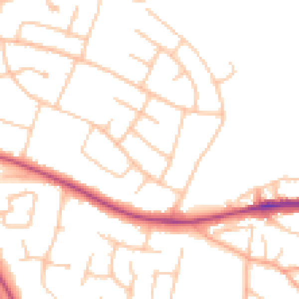
Daytime· 07:00 – 23:00
49.1dB

Night-time· 23:00 – 07:00
39.6dB