1 Lynton Avenue, Stafford, ST17 0EA
About 1 Lynton Avenue
1 Lynton Avenue is a two-bedroom semi-detached house in Stafford (ST17 0EA). It has a recorded floor area of 68 m² (around 732 sq ft), construction records dating it to 1950-1966 and council tax band C. The latest certificate (April 2024) shows a C (score 71). When first surveyed in June 2022 the rating was D, the property has climbed 1 band since. The recommended improvements would push it to B (score 87).
At 68 m² it sits well below the postcode median (99 m² across 6 EPCs), making it one of the more compact homes locally. Today's modelled estimate of £290,000 is 30.6% above the 2022 sale price. On a £-per-square-foot basis, the last sale (£303/sq ft) was about 103.2% above the typical sold price in the postcode. Last sale on file: £222,000 in October 2022. That sale was during the post-pandemic price surge, when transactions cleared materially above pre-2020 trend.
What this property has
Inside
- Bedrooms2
- Bathrooms1
- Dining roomYes
Outside
- Private gardenWrap around
- GarageSingle
Building
- RefurbishedYes
Everything you need to know about 1 Lynton Avenue
The true value, the hidden risks and the full sale history, in one report.
Pick your report · every report is £14.99
One time fee only - money back guarantee

The data behind every report


Energy performance
EPC Rating
Property Improvements
Changes detected from historical EPC data
Get a survey for this property
Level 2 HomeBuyer Report
We've checked 10 risk factors against the available data for this property and believe a Level 2 HomeBuyer Report could be a suitable option for you.
From £545 · Includes VAT
Planning history
1 Lynton Avenue has no planning applications on record.
But the area is active
1 notable application nearby — larger schemes and conversions that could reshape the street. The report maps them all.
Sales history & valuation
The latest sale landed in the post-pandemic price surge — useful context when reading the figure.
£290,000
Modelled from EPC, postcode comparables.
£222,000
Recorded with HM Land Registry.
Sales timeline
27 October 2022Most recent
£222,000
Median price across the last 5 sales in ST17 0EA: £188,250 (2018–2009).
Versus other Lynton Avenue homes
On price per m², 1 Lynton Avenue stands well clear of the street.
Price per m²
£3,265
Street avg £2,040
Floor Area
68 m²
Street avg 98 m²
Habitable Rooms
3 rooms
Street avg 5 rooms
CO₂ Emissions
2.6 t/year
Street avg 4.1 t/year
Everything you need to know about 1 Lynton Avenue
The true value, the hidden risks and the full sale history, in one report.
Pick your report · every report is £14.99
One time fee only - money back guarantee
The data behind every report
Similar properties nearby
The neighbourhood at a glance
Crime
3/mo
Steady year-on-year across the wider district.
Nearest stop
0.0 km
St Annes Church — bus stop.
Closest school
0.1 km
St Anne's Catholic Primary School. 16 schools nearby.
Go deeper on the local area
A Local Area report breaks down crime, transport links, schools and air quality in depth.
Road noise across the postcode
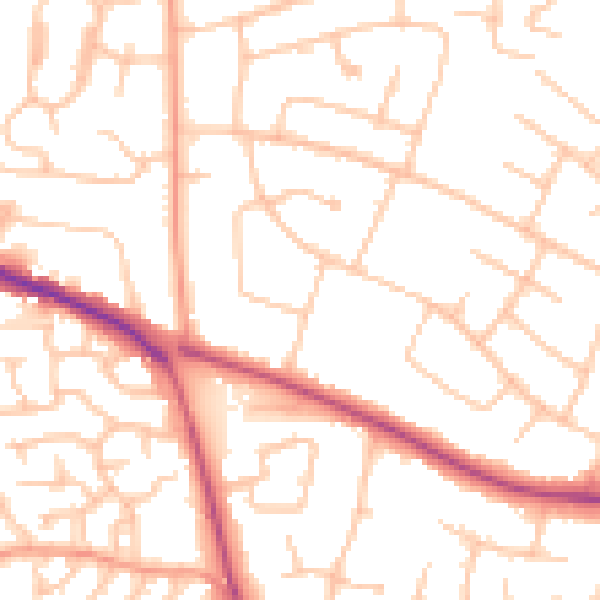
Daytime· 07:00 – 23:00
51.4dB

Night-time· 23:00 – 07:00
40.8dB