1a, Lynton Avenue, Stafford, ST17 0EA
About 1a
1a is a four-bedroom detached house in Stafford (ST17 0EA). It has a recorded floor area of 99 m² (around 1066 sq ft), construction records dating it to 1967-1975 and council tax band D. The latest certificate (November 2025) shows a C (score 69), just inside the C band. When first surveyed in May 2013 the rating was D, the property has climbed 1 band since. Between certificates, hot-water efficiency went from Average to Good and lighting went from Very Poor to Average; while window efficiency dropped from Average to Poor. Other recorded features include a conservatory. Period features are noted in the property record.
Today's modelled estimate of £377,000 sits 57.1% above the 2015 sale of £240,000. On a £-per-square-foot basis, the last sale (£225/sq ft) was about 50.9% above the typical sold price in the postcode. At 99 m² it's 18.6% larger than the typical home in the postcode (84 m² median across 6 EPCs). 11 years since the last transfer (February 2015).
What this property has
Inside
- Bedrooms4
- Dining roomYes
- Utility roomYes
- CloakroomYes
- EnsuiteYes
- ConservatoryYes
Outside
- Private gardenYes
- GarageYes
Building
- Heating systemGas
- Period featuresYes
Everything you need to know about 1a
The true value, the hidden risks and the full sale history, in one report.
Pick your report · every report is £14.99
One time fee only - money back guarantee

The data behind every report


Energy performance
EPC Rating
Property Improvements
Changes detected from historical EPC data
Hot water efficiency improved
Windows upgraded, improving insulation
More low energy lighting installed
Get a survey for this property
Level 2 HomeBuyer Report
We've checked 10 risk factors against the available data for this property and believe a Level 2 HomeBuyer Report could be a suitable option for you.
From £595 · Includes VAT
Planning history
1a has no planning applications on record.
But the area is active
1 notable application nearby — larger schemes and conversions that could reshape the street. The report maps them all.
Sales history & valuation
1a valuation sits well clear of the typical sold price in this postcode.
£377,000
Modelled from EPC, postcode comparables.
£240,000
Recorded with HM Land Registry.
Sales timeline
17 February 2015Most recent
£240,000
Median price across the last 5 sales in ST17 0EA: £188,250 (2022–2009).
Versus other Lynton Avenue homes
On years held, 1a stands well clear of the street.
Price per m²
£2,424
Street avg £2,250
Floor Area
99 m²
Street avg 93 m²
Habitable Rooms
5 rooms
Street avg 4 rooms
CO₂ Emissions
3.6 t/year
Street avg 3.9 t/year
Everything you need to know about 1a
The true value, the hidden risks and the full sale history, in one report.
Pick your report · every report is £14.99
One time fee only - money back guarantee
The data behind every report
Similar properties nearby
1 Belvedere Close
ST17 0AL
1 Bank Top Cottage, Top Road, Acton Trussell
ST17 0RQ
1 Ascot Road
ST17 0AG
1 Briar Close
ST17 0NG
1 Alsop Crest, Acton Trussell
ST17 0SJ
1 Baswich Crest
ST17 0HL
1 Beechfield Drive
ST17 0YH
1 Anson Drive
ST17 0LT
The neighbourhood at a glance
Crime
3/mo
Steady year-on-year across the wider district.
Nearest stop
0.0 km
St Annes Church — bus stop.
Closest school
0.1 km
St Anne's Catholic Primary School. 16 schools nearby.
Go deeper on the local area
A Local Area report breaks down crime, transport links, schools and air quality in depth.
Road noise across the postcode
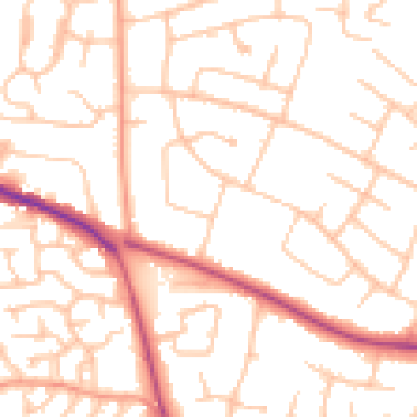
Daytime· 07:00 – 23:00
51.4dB

Night-time· 23:00 – 07:00
40.8dB