10 County Road, Stafford, ST16 2PU
About 10 County Road
10 County Road is a three-bedroom mid-terrace house in Stafford (ST16 2PU). It has a recorded floor area of 89 m² (around 958 sq ft), construction records dating it to 1900-1929 and council tax band B. The latest certificate (August 2025) shows a D (score 68), on the cusp of jumping into the C band. The recommended improvements would lift it to B (score 85), a 2-band jump.
It hasn't traded since November 2008, a hold of 18 years that's notably long for the area. That sale landed at the peak of the pre-credit-crunch market, which is a useful reference point when interpreting the price. Today's modelled estimate of £153,000 sits 73.9% above the 2008 sale of £88,000. At 89 m² it's 25.4% larger than the typical home in the postcode (71 m² median across 19 EPCs).
What this property has
Inside
- Bedrooms3
Everything you need to know about 10 County Road
The true value, the hidden risks and the full sale history, in one report.
Pick your report · every report is £14.99
One time fee only - money back guarantee

The data behind every report


Energy performance
Recommended upgrades on file would lift this property by multiple EPC bands.
EPC Rating
Get a survey for this property
Level 3 Building Survey
Because the property was built before 1919 and has solid (non-cavity) walls, we believe a Level 3 building survey should be considered.
From £820 · Includes VAT
Planning history
10 County Road has no planning applications on record.
But the area is active
4 notable applications nearby — larger schemes and conversions that could reshape the street. The report maps them all.
Sales history & valuation
The latest sale landed at the peak of the pre-credit-crunch market — a high-water reference point.
£153,000
Modelled from EPC, postcode comparables.
£88,000
Recorded with HM Land Registry.
Sales timeline
24 November 2008Most recent
£88,000
Median price across the last 5 sales in ST16 2PU: £127,000 (2025–2021).
Versus other County Road homes
On habitable rooms, 10 County Road stands well clear of the street.
Price per m²
£989
Street avg £1,902
Floor Area
89 m²
Street avg 72 m²
Habitable Rooms
5 rooms
Street avg 4 rooms
CO₂ Emissions
3.3 t/year
Street avg 3.8 t/year
Everything you need to know about 10 County Road
The true value, the hidden risks and the full sale history, in one report.
Pick your report · every report is £14.99
One time fee only - money back guarantee
The data behind every report
Similar properties nearby
1 Sherwood Court
ST16 2RN
1 Ebony Close
ST16 2TW
1 Kerr Lane
ST16 2EP
1 County Road
ST16 2PU
1 Rowley Street
ST16 2RH
1 Avarne Place
ST16 2ND
1 Lime Tree Avenue
ST16 2RR
1 Riverside Mews, Espleys Yard
ST16 2BS
The neighbourhood at a glance
Rail-style transport is unusually close for this postcode.
Crime
7/mo
Steady year-on-year across the wider district.
Nearest stop
0.1 km
Sash Street — bus stop.
Closest school
0.5 km
St Patrick's Catholic Primary School. 21 schools nearby.
Go deeper on the local area
A Local Area report breaks down crime, transport links, schools and air quality in depth.
Road noise across the postcode
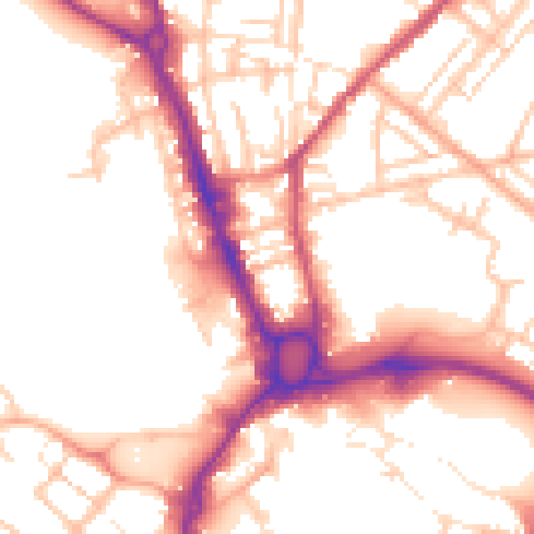
Daytime· 07:00 – 23:00
54.0dB

Night-time· 23:00 – 07:00
44.4dB