7 Barlaston Close, Stafford, ST16 1SY
About 7 Barlaston Close
7 Barlaston Close is a three-bedroom detached house in Stafford (ST16 1SY). It has a recorded floor area of 72 m² (around 775 sq ft), construction records dating it to 1967-1975 and council tax band C. The latest certificate (July 2021) shows an E (score 54), well below the UK norm with real room to improve. The recommended improvements would lift it to C (score 79), a 2-band jump. Other recorded features include a conservatory.
It lags the bulk of the postcode on energy efficiency (less efficient than 89% of similar EPCs). Across 2000–2021, sale prices on this property compounded at 5.9% per year. Today's modelled estimate of £244,000 is 16.2% above the 2021 sale price. On a £-per-square-foot basis, the last sale (£271/sq ft) was about 135.8% above the typical sold price in the postcode. Sold December 2021 for £210,000. That sale was during the post-pandemic price surge, when transactions cleared materially above pre-2020 trend.
What this property has
Inside
- Bedrooms3
- Bathrooms1
- Dining roomYes
- ConservatoryYes
Outside
- GarageYes
Building
- RefurbishedYes
Everything you need to know about 7 Barlaston Close
The true value, the hidden risks and the full sale history, in one report.
Pick your report · every report is £14.99
One time fee only - money back guarantee

The data behind every report


Energy performance
Recommended upgrades on file would lift this property by multiple EPC bands.
EPC Rating
Get a survey for this property
Level 2 HomeBuyer Report
We've checked 10 risk factors against the available data for this property and believe a Level 2 HomeBuyer Report could be a suitable option for you.
From £545 · Includes VAT
Planning history
7 Barlaston Close has no planning applications on record.
A planning report still maps activity across the surrounding area and reads this property's extension & conversion potential.
Sales history & valuation
Latest sale on 7 Barlaston Close was the highest on Land Registry record across the postcode.
£244,000
Modelled from EPC, postcode comparables and a sale-price growth of 5.9% per year over 22 years.
£210,000
Growth on file: 5.9% per year over 22 years.
Sales timeline
10 December 2021Most recent
£210,000
+250.3%over 21 years11 January 2000
£59,950
Median price across the last 5 sales in ST16 1SY: £160,000 (2021–2014).
Nearby sales in ST16 1SY
Versus other Barlaston Close homes
On price per m², 7 Barlaston Close stands well clear of the street.
Price per m²
£2,917
Street avg £1,559
Floor Area
72 m²
Street avg 82 m²
Habitable Rooms
4 rooms
Street avg 4 rooms
CO₂ Emissions
4.4 t/year
Street avg 3.6 t/year
Everything you need to know about 7 Barlaston Close
The true value, the hidden risks and the full sale history, in one report.
Pick your report · every report is £14.99
One time fee only - money back guarantee
The data behind every report
Similar properties nearby
The neighbourhood at a glance
Crime
7/mo
Steady year-on-year across the wider district.
Nearest stop
0.1 km
Barlaston Close — bus stop.
Closest school
0.5 km
Sir Graham Balfour High School. 8 schools nearby.
Go deeper on the local area
A Local Area report breaks down crime, transport links, schools and air quality in depth.
Road noise across the postcode
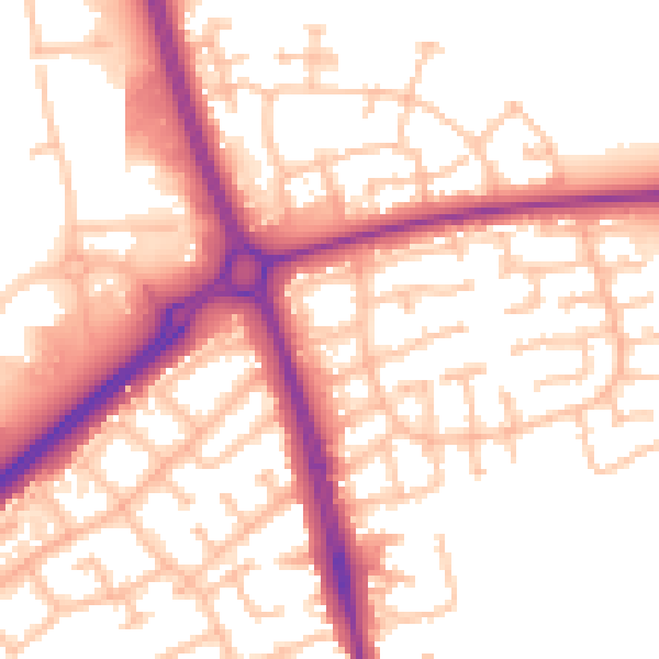
Daytime· 07:00 – 23:00
55.2dB

Night-time· 23:00 – 07:00
46.2dB