12 Brentleigh Way, Stoke On Trent, ST1 3GX
About 12 Brentleigh Way
12 Brentleigh Way is a mid-terrace house in Stoke On Trent (ST1 3GX). It has a recorded floor area of 85 m² (around 915 sq ft), construction records dating it to 2003-2006 and council tax band C. The latest certificate (January 2023) shows a C (score 76), near the top of the C band. The rating has held steady at C across 2 certificates since February 2009. Between certificates, lighting went from Good to Very Good. The recommended improvements would push it to B (score 88).
It hasn't traded since September 2007, a hold of 19 years that's notably long for the area. That sale landed at the peak of the pre-credit-crunch market, which is a useful reference point when interpreting the price. On a £-per-square-foot basis, the last sale (£205/sq ft) was about 33.6% above the typical sold price in the postcode.
Everything you need to know about 12 Brentleigh Way
The true value, the hidden risks and the full sale history, in one report.
Pick your report · every report is £14.99
One time fee only - money back guarantee

The data behind every report


Energy performance
EPC Rating
Property Improvements
Changes detected from historical EPC data
More low energy lighting installed
Get a survey for this property
Level 2 HomeBuyer Report
We've checked 10 risk factors against the available data for this property and believe a Level 2 HomeBuyer Report could be a suitable option for you.
From £495 · Includes VAT
Planning history
12 Brentleigh Way has no planning applications on record.
But the area is active
7 notable applications nearby — larger schemes and conversions that could reshape the street. The report maps them all.
Sales history & valuation
The latest sale landed at the peak of the pre-credit-crunch market — a high-water reference point.
£187,000
Modelled from EPC, postcode comparables.
£187,995
Recorded with HM Land Registry.
Sales timeline
6 September 2007Most recent
£187,995
Median price across the last 5 sales in ST1 3GX: £170,000 (2024–2022).
Nearby sales in ST1 3GX
83 Brentleigh Way, Stoke On Trent, ST1 3GX
Sold Apr 2024
£115,00081 Brentleigh Way, Stoke On Trent, ST1 3GX
Sold Dec 2023
£116,00013 Brentleigh Way, Stoke On Trent, ST1 3GX
Sold Aug 2023
£172,00079 Brentleigh Way, Stoke On Trent, ST1 3GX
Sold Jun 2022
£170,00014 Brentleigh Way, Stoke On Trent, ST1 3GX
Sold Jun 2022
£170,000
Versus other Brentleigh Way homes
Price per m² for 12 Brentleigh Way runs comfortably ahead of the street norm.
Price per m²
£2,212
Street avg £1,631
Floor Area
85 m²
Street avg 85 m²
Habitable Rooms
5 rooms
Street avg 5 rooms
CO₂ Emissions
2.4 t/year
Street avg 2.1 t/year
Everything you need to know about 12 Brentleigh Way
The true value, the hidden risks and the full sale history, in one report.
Pick your report · every report is £14.99
One time fee only - money back guarantee
The data behind every report
Similar properties nearby
The neighbourhood at a glance
Crime
27/mo
Falling year-on-year across the wider district.
Nearest stop
0.1 km
Leek Road — bus stop.
Closest school
0.6 km
Waterside Primary School. 27 schools nearby.
Go deeper on the local area
A Local Area report breaks down crime, transport links, schools and air quality in depth.
Road noise across the postcode
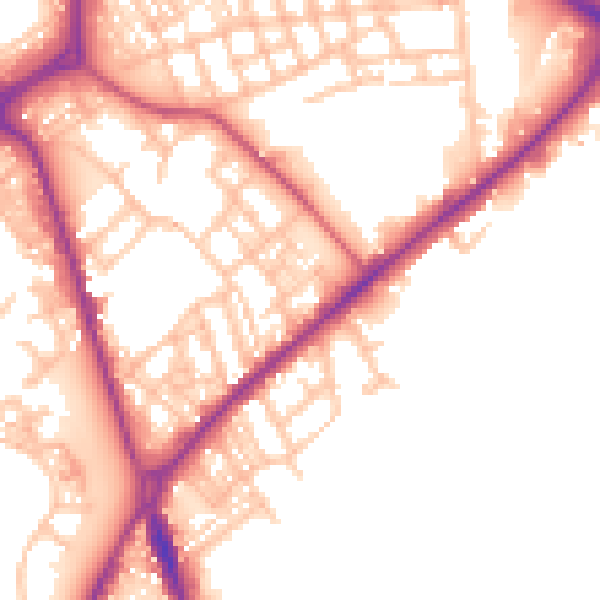
Daytime· 07:00 – 23:00
53.5dB

Night-time· 23:00 – 07:00
44.9dB