23 Geddes Road, Sunderland, SR4 8JW
About 23 Geddes Road
23 Geddes Road is a semi-detached house in Sunderland (SR4 8JW). It has a recorded floor area of 66 m² (around 710 sq ft), construction records dating it to 1967-1975 and council tax band A. The latest certificate (April 2013) shows a C (score 72). The recommended improvements would push it to B (score 90). The latest certificate is from April 2013, so improvements made since then won't be reflected.
Untraded for 22 years, with the last transfer in October 2004. Today's modelled estimate of £121,000 is 48.5% above the 2004 sale price.
Everything you need to know about 23 Geddes Road
The true value, the hidden risks and the full sale history, in one report.
Pick your report · every report is £14.99
One time fee only - money back guarantee

The data behind every report


Energy performance
23 Geddes Road's EPC is over a decade old — improvements since won't be reflected.
EPC Expired
This certificate is over 10 years old and is no longer valid.Expired 09 Apr 2023
EPC Rating
Get a survey for this property
Level 2 HomeBuyer Report
We've checked 10 risk factors against the available data for this property and believe a Level 2 HomeBuyer Report could be a suitable option for you.
From £495 · Includes VAT
Planning history
23 Geddes Road has no planning applications on record.
A planning report still maps activity across the surrounding area and reads this property's extension & conversion potential.
Sales history & valuation
23 Geddes Road valuation sits well clear of the typical sold price in this postcode.
£121,000
Modelled from EPC, postcode comparables.
£81,500
Recorded with HM Land Registry.
Sales timeline
28 October 2004Most recent
£81,500
Median price across the last 5 sales in SR4 8JW: £99,950 (2025–2024).
Nearby sales in SR4 8JW
Versus other Geddes Road homes
Years Held for 23 Geddes Road runs comfortably ahead of the street norm.
Price per m²
£1,235
Street avg £1,330
Floor Area
66 m²
Street avg 65 m²
Habitable Rooms
4 rooms
Street avg 4 rooms
CO₂ Emissions
2.4 t/year
Street avg 2.7 t/year
Everything you need to know about 23 Geddes Road
The true value, the hidden risks and the full sale history, in one report.
Pick your report · every report is £14.99
One time fee only - money back guarantee
The data behind every report
Similar properties nearby
The neighbourhood at a glance
Reported crime in the wider district is trending notably upward year-on-year.
Crime
3/mo
Rising year-on-year across the wider district.
Nearest stop
0.2 km
Chester Road-Grindon Mill — bus stop.
Closest school
0.5 km
Grindon Infant School. 26 schools nearby.
Go deeper on the local area
A Local Area report breaks down crime, transport links, schools and air quality in depth.
Road noise across the postcode
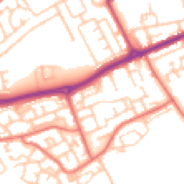
Daytime· 07:00 – 23:00
53.5dB
Night-time· 23:00 – 07:00
42.1dB