8 Angrove Gardens, Sunderland, SR4 7TB
About 8 Angrove Gardens
8 Angrove Gardens is a three-bedroom semi-detached house in Sunderland (SR4 7TB). It has a recorded floor area of 77 m² (around 829 sq ft), construction records dating it to 1950-1966 and council tax band D. The latest certificate (November 2023) shows a D (score 67), on the cusp of jumping into the C band. The recommended improvements would lift it to B (score 82), a 2-band jump.
At 77 m² it sits well below the postcode median (117 m² across 4 EPCs), making it one of the more compact homes locally. Today's modelled estimate of £231,000 is 32% above the 2024 sale price. On a £-per-square-foot basis, the last sale (£211/sq ft) was about 54.6% above the typical sold price in the postcode. Last sale on file: £175,000 in September 2024.
What this property has
Inside
- Bedrooms3
- Bathrooms1
Everything you need to know about 8 Angrove Gardens
The true value, the hidden risks and the full sale history, in one report.
Pick your report · every report is £14.99
One time fee only - money back guarantee

The data behind every report


Energy performance
Recommended upgrades on file would lift this property by multiple EPC bands.
EPC Rating
Get a survey for this property
Level 2 HomeBuyer Report
We've checked 10 risk factors against the available data for this property and believe a Level 2 HomeBuyer Report could be a suitable option for you.
From £545 · Includes VAT
Planning history
8 Angrove Gardens has no planning applications on record.
But the area is active
10 notable applications nearby — larger schemes and conversions that could reshape the street. The report maps them all.
Sales history & valuation
8 Angrove Gardens valuation sits well clear of the typical sold price in this postcode.
£231,000
Modelled from EPC, postcode comparables.
£175,000
Recorded with HM Land Registry.
Sales timeline
18 September 2024Most recent
£175,000
Median price across the last 5 sales in SR4 7TB: £160,000 (2024–2007).
Nearby sales in SR4 7TB
Versus other Angrove Gardens homes
Price per m² for 8 Angrove Gardens runs comfortably ahead of the street norm.
Price per m²
£2,273
Street avg £1,492
Floor Area
77 m²
Street avg 114 m²
Habitable Rooms
4 rooms
Street avg 6 rooms
CO₂ Emissions
3.4 t/year
Street avg 5.6 t/year
Everything you need to know about 8 Angrove Gardens
The true value, the hidden risks and the full sale history, in one report.
Pick your report · every report is £14.99
One time fee only - money back guarantee
The data behind every report
Similar properties nearby
1 Angrove Gardens
SR4 7TB
1 Broxbourne Terrace
SR4 7DT
1 Colchester Terrace
SR4 7RY
1 Beachville Street
SR4 7NA
1 Blackett Terrace
SR4 7XD
1 Bexley Street
SR4 7TL
1 Arrol Park
SR4 7BS
1 Chester Street
SR4 7DF
The neighbourhood at a glance
Reported crime in the wider district is trending notably upward year-on-year.
Crime
3/mo
Rising year-on-year across the wider district.
Nearest stop
0.1 km
Royal Hospital Kayll Road E — bus stop.
Closest school
0.6 km
Barnes Infant Academy. 39 schools nearby.
Go deeper on the local area
A Local Area report breaks down crime, transport links, schools and air quality in depth.
Road noise across the postcode
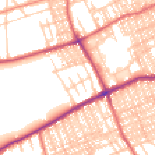
Daytime· 07:00 – 23:00
54.8dB

Night-time· 23:00 – 07:00
43.8dB