17 Faraday Grove, Sunderland, SR4 6UL
About 17 Faraday Grove
17 Faraday Grove is a two-bedroom semi-detached house in Sunderland (SR4 6UL). It has a recorded floor area of 79 m² (around 850 sq ft), construction records dating it to 1930-1949 and council tax band B. The latest certificate (January 2020) shows an E (score 42), well below the UK norm with real room to improve. The recommended improvements would lift it to B (score 82), a 3-band jump. Period features are noted in the property record. Our model identifies extension potential, subject to local planning policy.
Today's modelled estimate of £159,000 is 47.2% above the 2020 sale price. Most recent transfer: July 2020 at £108,000.
What this property has
Inside
- Bedrooms2
- Bathrooms1
- Dining roomYes
- FireplaceYes
Outside
- Private gardenYes
- GarageYes
Building
- Period featuresYes
- Extension potentialPossible
Everything you need to know about 17 Faraday Grove
The true value, the hidden risks and the full sale history, in one report.
Pick your report · every report is £14.99
One time fee only - money back guarantee

The data behind every report


Energy performance
17 Faraday Grove's carbon output runs well above what efficient homes in the postcode produce.
EPC Rating
Get a survey for this property
Level 2 HomeBuyer Report
We've checked 10 risk factors against the available data for this property and believe a Level 2 HomeBuyer Report could be a suitable option for you.
From £495 · Includes VAT
Planning history
17 Faraday Grove has no planning applications on record.
But the area is active
1 notable application nearby — larger schemes and conversions that could reshape the street. The report maps them all.
Sales history & valuation
The latest sale landed in the post-pandemic price surge — useful context when reading the figure.
£159,000
Modelled from EPC, postcode comparables.
£108,000
Recorded with HM Land Registry.
Sales timeline
28 July 2020Most recent
£108,000
Median price across the last 5 sales in SR4 6UL: £150,000 (2024–2017).
Nearby sales in SR4 6UL
Versus other Faraday Grove homes
EPC Rating for 17 Faraday Grove lags the street by a wide margin.
Price per m²
£1,367
Street avg £1,667
Floor Area
79 m²
Street avg 78 m²
Habitable Rooms
4 rooms
Street avg 5 rooms
CO₂ Emissions
6.6 t/year
Street avg 4.4 t/year
Everything you need to know about 17 Faraday Grove
The true value, the hidden risks and the full sale history, in one report.
Pick your report · every report is £14.99
One time fee only - money back guarantee
The data behind every report
Similar properties nearby
The neighbourhood at a glance
Reported crime in the wider district is trending notably upward year-on-year.
Crime
3/mo
Rising year-on-year across the wider district.
Nearest stop
0.2 km
Hylton Road-Cemetery — bus stop.
Closest school
0.5 km
Diamond Hall Infant Academy. 35 schools nearby.
Go deeper on the local area
A Local Area report breaks down crime, transport links, schools and air quality in depth.
Road noise across the postcode
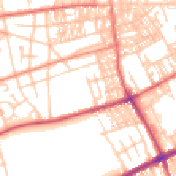
Daytime· 07:00 – 23:00
53.5dB

Night-time· 23:00 – 07:00
42.7dB