2 Corning Road, Sunderland, SR4 6EE
About 2 Corning Road
2 Corning Road is a three-bedroom detached house in Sunderland (SR4 6EE). It has a recorded floor area of 90 m² (around 969 sq ft). The latest certificate (November 2016) shows a C (score 80), near the top of the C band. The recommended improvements would push it to B (score 91).
Today's modelled estimate of £224,000 is 14.9% above the 2021 sale price. On a £-per-square-foot basis, the last sale (£201/sq ft) was about 18.3% above the typical sold price in the postcode. Most recent transfer: January 2021 at £195,000. That sale was during the post-pandemic price surge, when transactions cleared materially above pre-2020 trend.
What this property has
Inside
- Bedrooms3
- Utility roomYes
Outside
- GarageDouble
Building
- Central heatingYes
Everything you need to know about 2 Corning Road
The true value, the hidden risks and the full sale history, in one report.
Pick your report · every report is £14.99
One time fee only - money back guarantee

The data behind every report


Energy performance
EPC Rating
Get a survey for this property
Level 2 HomeBuyer Report
We've checked 10 risk factors against the available data for this property and believe a Level 2 HomeBuyer Report could be a suitable option for you.
From £545 · Includes VAT
Planning history
2 Corning Road has no planning applications on record.
But the area is active
1 notable application nearby — larger schemes and conversions that could reshape the street. The report maps them all.
Sales history & valuation
The latest sale landed in the post-pandemic price surge — useful context when reading the figure.
£224,000
Modelled from EPC, postcode comparables.
£195,000
Recorded with HM Land Registry.
Sales timeline
26 January 2021Most recent
£195,000
22 December 2016
£194,950
Median price across the last 5 sales in SR4 6EE: £160,000 (2025–2025).
Nearby sales in SR4 6EE
Versus other Corning Road homes
2 Corning Road outperforms the street on price per m² by a wide margin.
Price per m²
£2,167
Street avg £1,859
Floor Area
90 m²
Street avg 88 m²
CO₂ Emissions
2.0 t/year
Street avg 2.0 t/year
Years Held
5 years
Street avg 8 years
Everything you need to know about 2 Corning Road
The true value, the hidden risks and the full sale history, in one report.
Pick your report · every report is £14.99
One time fee only - money back guarantee
The data behind every report
Similar properties nearby
The neighbourhood at a glance
Rail-style transport is unusually close for this postcode.
Crime
3/mo
Rising year-on-year across the wider district.
Nearest stop
0.1 km
Pallion New Road-Bridge — bus stop.
Closest school
0.5 km
St Joseph's Catholic Primary School, Sunderland. 38 schools nearby.
Go deeper on the local area
A Local Area report breaks down crime, transport links, schools and air quality in depth.
Road noise across the postcode
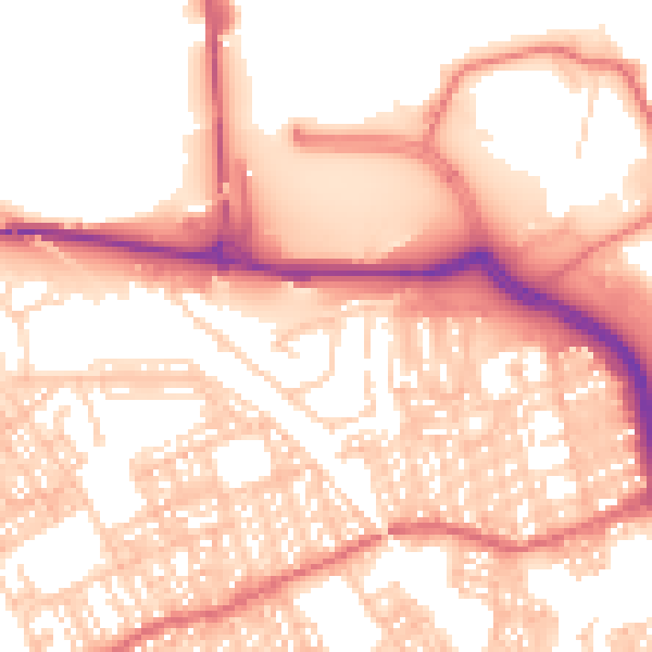
Daytime· 07:00 – 23:00
55.9dB

Night-time· 23:00 – 07:00
44.1dB