15 Corning Road, Sunderland, SR4 6EE
About 15 Corning Road
15 Corning Road is a two-bedroom semi-detached house in Sunderland (SR4 6EE). It has a recorded floor area of 60 m² (around 646 sq ft), construction records dating it to 2003-2006 and council tax band B. Tenure is freehold. The latest certificate (September 2022) shows a C (score 75), near the top of the C band. The rating has held steady at C across 2 certificates since August 2012. Between certificates, lighting went from Average to Very Good; while roof efficiency dropped from Very Good to Good. The recommended improvements would push it to B (score 89).
At 60 m² it sits well below the postcode median (86 m² across 65 EPCs), making it one of the more compact homes locally. Today's modelled estimate of £149,000 is 17.4% above the 2012 sale price. On a £-per-square-foot basis, the last sale (£197/sq ft) was about 15.2% above the typical sold price in the postcode. Last sold in November 2012, so it's been off the market for around 14 years.
What this property has
Inside
- Bedrooms2
- Bathrooms1
Outside
- Private gardenRear
Building
- TenureFreehold
- RefurbishedYes
Everything you need to know about 15 Corning Road
The true value, the hidden risks and the full sale history, in one report.
Pick your report · every report is £14.99
One time fee only - money back guarantee

The data behind every report


Energy performance
EPC Rating
Property Improvements
Changes detected from historical EPC data
Wall insulation upgraded
Floor insulation added or improved
More low energy lighting installed
Get a survey for this property
Level 2 HomeBuyer Report
We've checked 10 risk factors against the available data for this property and believe a Level 2 HomeBuyer Report could be a suitable option for you.
From £495 · Includes VAT
Planning history
15 Corning Road has no planning applications on record.
But the area is active
1 notable application nearby — larger schemes and conversions that could reshape the street. The report maps them all.
Sales history & valuation
£149,000
Modelled from EPC, postcode comparables.
£126,950
Recorded with HM Land Registry.
Sales timeline
30 November 2012Most recent
£126,950
Median price across the last 5 sales in SR4 6EE: £160,000 (2025–2025).
Nearby sales in SR4 6EE
Versus other Corning Road homes
On years held, 15 Corning Road stands well clear of the street.
Price per m²
£2,116
Street avg £1,860
Floor Area
60 m²
Street avg 89 m²
Habitable Rooms
4 rooms
Street avg 5 rooms
CO₂ Emissions
1.9 t/year
Street avg 2.0 t/year
Everything you need to know about 15 Corning Road
The true value, the hidden risks and the full sale history, in one report.
Pick your report · every report is £14.99
One time fee only - money back guarantee
The data behind every report
Similar properties nearby
The neighbourhood at a glance
Rail-style transport is unusually close for this postcode.
Crime
3/mo
Rising year-on-year across the wider district.
Nearest stop
0.1 km
Pallion New Road-Bridge — bus stop.
Closest school
0.5 km
St Joseph's Catholic Primary School, Sunderland. 38 schools nearby.
Go deeper on the local area
A Local Area report breaks down crime, transport links, schools and air quality in depth.
Road noise across the postcode
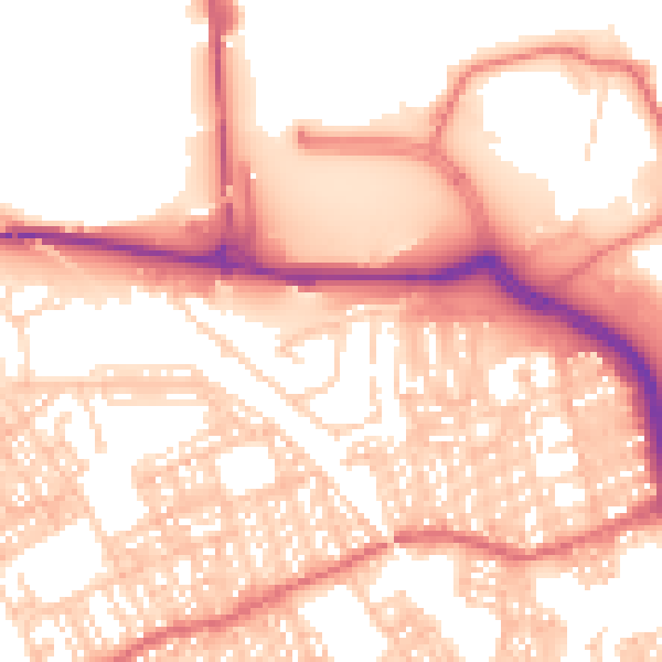
Daytime· 07:00 – 23:00
55.9dB

Night-time· 23:00 – 07:00
44.1dB