34 Church Street, Romsey, SO51 8BU
About 34 Church Street
34 Church Street is a four-bedroom detached house in Romsey (SO51 8BU). It has a recorded floor area of 206 m² (around 2217 sq ft), construction records dating it to before 1900 and council tax band F. It is a listed building, which means external alterations are tightly controlled but it may qualify for heritage tax reliefs. Other recorded features include a basement. Period features are noted in the property record. The latest certificate (April 2025) shows an E (score 54), well below the UK norm with real room to improve. When first surveyed in February 2011 the rating was F, the property has climbed 1 band since. Between certificates, roof efficiency went from Very Poor to Good and lighting went from Poor to Very Good; while hot-water efficiency dropped from Very Good to Good and main heating dropped from Very Good to Good. The recommended improvements would lift it to C (score 80), a 2-band jump.
Held since April 1999 — that's 27 years off the open market, well above the local norm. Only one transfer is on record with HM Land Registry, suggesting it has stayed in the same hands for a long time. At 206 m² the property is well over the postcode median (87 m² across 17 EPCs), placing it in the larger end of the local stock. It lags the bulk of the postcode on energy efficiency (less efficient than 88% of similar EPCs). Today's modelled estimate of £818,000 sits 248.1% above the 1999 sale of £235,000. On a £-per-square-foot basis, the last sale (£106/sq ft) was about 54.1% below the postcode norm. One historical planning record sits against the property in 2003.
Know exactly what you're buying at 34 Church Street
Before you offer, see what the listing won't tell you, the true value, the red flags and the full history.
Already flagged here
Valuation
against the asking price
Risks
planning & flood
Sold prices
similar homes nearby
Trends
the local market
What this property has
Inside
- Bedrooms4
- Bathrooms3
- Dining roomYes
- EnsuiteYes
- BasementYes
Outside
- Private gardenYes
- DrivewayYes
Building
- Listed buildingYes
- Period featuresYes
Energy performance
34 Church Street's carbon output runs well above what efficient homes in the postcode produce.
EPC Rating
Property Improvements
Changes detected from historical EPC data
Hot water efficiency decreased
Roof insulation improved
More low energy lighting installed
Planning history
- Sept 2003Demolition And RebuildHeritageIn report
Demolition of existing workshop premises
- Documents
- 4 docs on file
- Reference
- TVS.CA.00036/3
We flagged 1 thing worth checking at 34 Church Street
Independent checks surfaced things a buyer would want to understand before offering. The report explains each one in full, with the underlying data and what to ask.
- Larger development activity nearby
30-day money-back guarantee
Sales history & valuation
34 Church Street's estimated value is more than triple its earliest registered sale price (1999).
£818,000
Modelled from EPC, postcode comparables.
£235,000
Recorded with HM Land Registry.
Sales timeline
29 April 1999Most recent
£235,000
Median price across the last 5 sales in SO51 8BU: £290,000 (2023–2018).
Nearby sales in SO51 8BU
Flat B, 26 Church Street, Romsey, SO51 8BU
Sold Nov 2023
£290,000Flat B, 28 Church Street, Romsey, SO51 8BU
Sold Mar 2022
£282,0002a, Church Street, Romsey, SO51 8BU
Sold May 2021
£290,000Flat A, 28 Church Street, Romsey, SO51 8BU
Sold Feb 2019
£302,500Flat C, 28 Church Street, Romsey, SO51 8BU
Sold Apr 2018
£260,000
Everything we know about 34 Church Street, in one report
What it's really worth, what could be wrong, and the planning, sales and area data in full.
What we flagged
- Larger development activity nearby

Versus other Church Street homes
On epc rating, 34 Church Street runs well behind the street norm.
EPC Rating
54 (E)
Street avg 63 (D)
Floor Area
206 m²
Street avg 99 m²
CO₂ Emissions
9.8 t/year
Street avg 4.2 t/year
Habitable Rooms
7 rooms
Street avg 5 rooms
Similar properties nearby
1 Barling Mews, Love Lane
SO51 8TB
1 Elm Place, Winchester Road
SO51 8JL
1 Hestia Close
SO51 8PA
1 Chavy Water
SO51 8AJ
1 Bark Mill Mews, Middlebridge Street
SO51 8HL
1 Coachmakers Mews
SO51 8AH
1 Holt Mews, Latimer Street
SO51 8LD
1 Feltham Close
SO51 8PB
The neighbourhood at a glance
Rail-style transport is unusually close for this postcode.
Crime
3/mo
Steady year-on-year across the wider district.
Nearest stop
0.0 km
Council Offices — bus stop.
Closest school
0.2 km
Romsey Abbey Church of England Primary School. 7 schools nearby.
Go deeper on the local area
The full report breaks down crime, transport links, schools and air quality in depth.
Road noise across the postcode
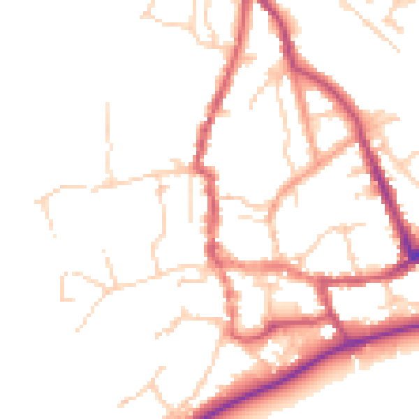
Daytime· 07:00 – 23:00
49.5dB

Night-time· 23:00 – 07:00
41.0dB