Are you a property professional?Get qualified leads from motivated homeowners.
Get started9 Burnetts Gardens, Horton Heath, Eastleigh, SO50 7BY
About 9 Burnetts Gardens
A plain-English summary derived from public records, EPC certificates, sold prices and local data.
9 Burnetts Gardens is a four-bedroom detached house in Horton Heath, Eastleigh, Eastleigh (SO50 7BY). It has a recorded floor area of 113 m² (around 1216 sq ft), construction records dating it to 1967-1975 and council tax band E. The latest certificate (May 2018) shows a D (score 62), on the cusp of jumping into the C band. The recommended improvements would lift it to B (score 81), a 2-band jump. The home occupies a cul-de-sac position.
Today's modelled estimate of £460,000 is 27.8% above the 2019 sale price. On a £-per-square-foot basis, the last sale (£296/sq ft) was about 31.9% above the typical sold price in the postcode. Sold September 2019 for £360,000.
What this property has
Pulled from EPC certificates, claim submissions and our property model. Empty categories are hidden — we only show what's known.
Inside
- Bedrooms4
- Bathrooms1
- Dining roomYes
- StudyYes
Energy performance
Every EPC certificate filed against this property — current rating, recorded improvements, and where there's headroom to reach a higher band.
Recommended upgrades on file would lift this property by multiple EPC bands.
EPC Rating
A
B
C
D
D62
E
F
G
Main Heating
Gas
Main Fuel
Gas
Hot Water
Good
Windows
Average
CO2 Emissions
4.7 t/year
Occupancy
Owner Occupied
Sales history & valuation
Recorded transactions, our model's current estimate, and a quick read on what neighbouring properties have sold for.
9 Burnetts Gardens valuation sits well clear of the typical sold price in this postcode.
Current estimate
See how we calculated this£460,000
Modelled from EPC, postcode comparables.
Last sold (2019)
£360,000
Recorded with HM Land Registry.
Sales timeline
Full property reportLaunch offer · 33% off
The complete analysis of 9 Burnetts Gardens, Horton Heath, Eastleigh, SO50 7BY
Everything we know about this property, compiled into one in-depth, downloadable report.
Detailed AI analysis
Versus other Burnetts Gardens homes
Four headline reads against 11 similar houses on this street, drawn from the latest EPC and Land Registry data.
Habitable Rooms for 9 Burnetts Gardens runs comfortably ahead of the street norm.
Price per m²
£3,186
Street avg £2,962
Floor Area
113 m²
Street avg 113 m²
Habitable Rooms
8 rooms
Similar properties nearby
A handful of close matches in the same postcode area, ranked by likeness on bedrooms, type and floor area.
The neighbourhood at a glance
A condensed read of the local area. Each tile links through to the full breakdown on the Eastleigh district page.
Daytime road noise here sits well below conversation level — a quiet pocket of the postcode.
Crime
6/mo
Steady year-on-year across the wider district.
Nearest stop
0.2 km
Road noise across the postcode
Modelled day and night-time noise levels around SO50 7BY from Defra's strategic mapping. The pin marks this postcode's centroid.
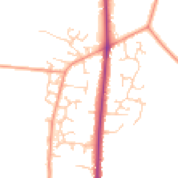
Daytime· 07:00 – 23:00
47.4dB

Everything within walking distance
Schools, transport stops and scenic spots near this property — 37 points of interest in total.
Common questions
The questions buyers, sellers and homeowners most often ask about 9 Burnetts Gardens, Horton Heath, Eastleigh, SO50 7BY. Each answer is also embedded as structured data for search engines.