44 Crispin Close, Locks Heath, Southampton, SO31 6TD
About 44 Crispin Close
44 Crispin Close is a four-bedroom detached house in Locks Heath, Southampton, Southampton (SO31 6TD). It has a recorded floor area of 121 m² (around 1302 sq ft), construction records dating it to 1991-1995 and council tax band E. The property has underfloor heating on record, all of which lower running costs and tend to lift resale appeal. Other recorded features include outbuildings. The home occupies a cul-de-sac position. The latest certificate (May 2021) shows a D (score 68), on the cusp of jumping into the C band. The recommended improvements would push it to C (score 80).
A recent sale: £565,000 in December 2025. Across 2006–2025, sale prices on this property compounded at 3.5% per year. On a £-per-square-foot basis, the last sale (£434/sq ft) was about 118.9% above the typical sold price in the postcode. 4 planning records sit against the property, 0 approved, 0 refused.
What this property has
Inside
- Bedrooms4
- Bathrooms2
- Open-plan layoutYes
- Dining roomYes
- EnsuiteYes
- FireplaceYes
Outside
- Private gardenWest-facing
- GarageIntegral
- OutbuildingsYes
- Cul-de-sacYes
Building
- Underfloor heatingYes
Everything you need to know about 44 Crispin Close
The true value, the hidden risks and the full sale history, in one report.
Pick your report · from £14.99
One time fee only - money back guarantee

The data behind every report







Energy performance
EPC Rating
Certificate validity
Valid until 12 May 2031

Get a survey for this property
Level 3 Building Survey
Because the property has been extended more than once and has permanent outbuildings, we believe a Level 3 building survey should be considered.
From £1,085 · Includes VAT
Planning history
44 Crispin Close has 2 separate extension applications on the council record.
4 applications on record at 44 Crispin Close, Locks Heath, Southampton, SO31 6TD
- Dec 2000ConservatoryFullOutcome in report
Erection Of Conservatory
Extension- Documents
- 10 docs on file
- Reference
- P/00/1231/FP
- More recent applications — locked
- ExtensionFeb 2008Decision
- Tree WorksOct 2007Decision
+ 1 more application in the report
Unlock 44 Crispin Close, Locks Heath, Southampton, SO31 6TD's full planning history
You're seeing the shape of it. The report has the substance.
- Every decision — granted, refused or withdrawn (4 on record)
- All 4 applications on this property in full, plus 5 notable nearby
- The 22 documents, officer reports & conditions
- What the pattern means for extending or converting here
One time fee only - money back guarantee
Sales history & valuation
Latest sale on 44 Crispin Close was the highest on Land Registry record across the postcode.
£580,000
Modelled from EPC, postcode comparables and a sale-price growth of 3.5% per year over 19 years.
£565,000
Growth on file: 3.5% per year over 19 years.
Sales timeline
2 December 2025Most recent
£565,000
+11.9%over 4 years16 September 2021
£505,000
+74.1%over 15 years7 September 2006
£290,000
Median price across the last 5 sales in SO31 6TD: £435,000 (2022–2019).
Nearby sales in SO31 6TD
26 Crispin Close, Locks Heath, Southampton, SO31 6TD
Sold Oct 2022
£500,00048 Crispin Close, Locks Heath, Southampton, SO31 6TD
Sold Jun 2021
£485,00017 Crispin Close, Locks Heath, Southampton, SO31 6TD
Sold Apr 2021
£435,0006 Crispin Close, Locks Heath, Southampton, SO31 6TD
Sold Sept 2020
£387,00011 Crispin Close, Locks Heath, Southampton, SO31 6TD
Sold Jul 2019
£380,000
Versus other Crispin Close homes
44 Crispin Close outperforms the street on price per m² by a wide margin.
Price per m²
£4,669
Street avg £2,598
Floor Area
121 m²
Street avg 134 m²
Habitable Rooms
6 rooms
Street avg 7 rooms
CO₂ Emissions
3.8 t/year
Street avg 4.2 t/year
Everything you need to know about 44 Crispin Close
The true value, the hidden risks and the full sale history, in one report.
Pick your report · from £14.99
One time fee only - money back guarantee
The data behind every report
Similar properties nearby
1 Cardinal Way, Locks Heath
SO31 6RT
1 Coombedale, Locks Heath
SO31 6UJ
1 Cowslip Close, Locks Heath
SO31 6XL
1 Conference Drive, Locks Heath
SO31 6WP
1 Daisy Lane, Locks Heath
SO31 6RA
1 Buttercup Way, Locks Heath
SO31 6DG
1 Crescent Road, Locks Heath
SO31 6PE
1 Chichester Close, Sarisbury Green
SO31 6EX
The neighbourhood at a glance
Crime
233/mo
Steady year-on-year across the wider district.
Nearest stop
0.3 km
St Cuthberts Lane — bus stop.
Closest school
0.5 km
Park Gate Primary School. 12 schools nearby.
Go deeper on the local area
A Local Area report breaks down crime, transport links, schools and air quality in depth.
Road noise across the postcode
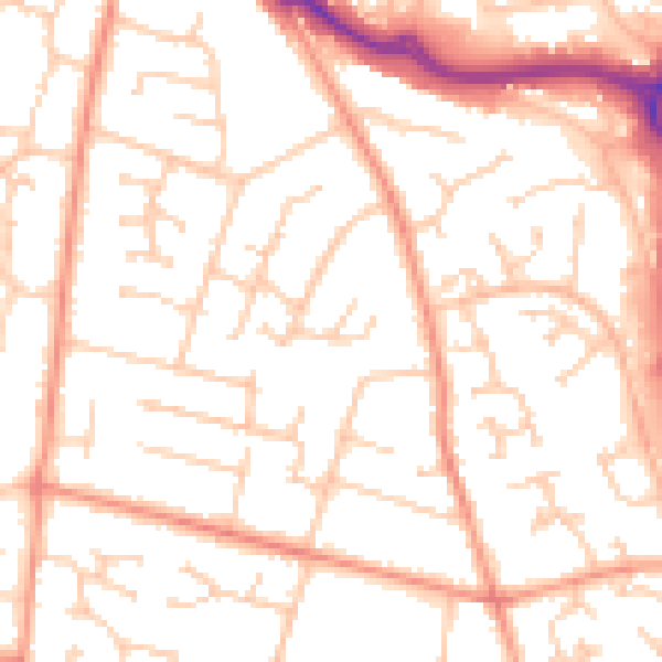
Daytime· 07:00 – 23:00
52.6dB
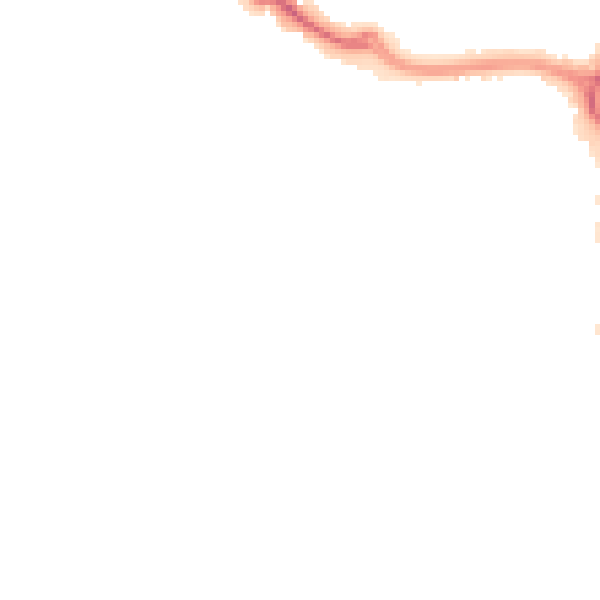
Night-time· 23:00 – 07:00
41.7dB