214 Bursledon Road, Southampton, SO19 8NB
About 214 Bursledon Road
214 Bursledon Road is a three-bedroom detached house in Southampton (SO19 8NB). It has a recorded floor area of 121 m² (around 1302 sq ft), construction records dating it to 1900-1929 and council tax band D. The latest certificate (October 2013) shows a D (score 56), a step below the typical UK home. When first surveyed in February 2009 the rating was E, the property has climbed 1 band since. Between certificates, roof efficiency dropped from Average to Very Poor. The recommended improvements would lift it to B (score 82), a 2-band jump. The latest certificate is from October 2013, so improvements made since then won't be reflected.
At 121 m² the property is well over the postcode median (65 m² across 43 EPCs), placing it in the larger end of the local stock. It lags the bulk of the postcode on energy efficiency (less efficient than 88% of similar EPCs). 3 planning records sit against the property, 2 approved, 0 refused. Past consents include partial demolition, meaningful when judging how the property has evolved. Across 2008–2023, sale prices on this property compounded at 2.9% per year. On a £-per-square-foot basis, the last sale (£226/sq ft) was about 36% above the typical sold price in the postcode. Last sale on file: £295,000 in January 2023.
What this property has
Inside
- Bedrooms3
- Bathrooms1
- EnsuiteYes
- FireplaceYes
Outside
- Private gardenRear
- ParkingOff road
Building
- RefurbishedYes
Everything you need to know about 214 Bursledon Road
The true value, the hidden risks and the full sale history, in one report.
Pick your report · every report is £14.99
One time fee only - money back guarantee

The data behind every report


Energy performance
Recommended upgrades on file would lift this property by multiple EPC bands.
EPC Expired
This certificate is over 10 years old and is no longer valid.Expired 03 Oct 2023
EPC Rating
Property Improvements
Changes detected from historical EPC data
Heating controls upgraded for better temperature management
Get a survey for this property
Level 3 Building Survey
Because the property was built before 1919, we believe a Level 3 building survey should be considered.
From £955 · Includes VAT
Planning history
Planning history includes recorded demolition works, indicating a major rebuild phase at this address.
3 applications on record at 214 Bursledon Road, Southampton, SO19 8NB
- Mar 2016DemolitionFullOutcome in report
Erection of a two-bed, two-storey, detached dwelling, with associated bin and cycle storage and amenity space. Demolition of existing extension.
- Documents
- 11 docs on file
- Reference
- 16/00091/FUL
- More recent applications — locked
- ConditionsApr 2017Decision
- DemolitionDec 2016Decision
Unlock 214 Bursledon Road, Southampton, SO19 8NB's full planning history
You're seeing the shape of it. The report has the substance.
- Every decision — granted, refused or withdrawn (3 on record)
- All 3 applications on this property in full
- The 21 documents, officer reports & conditions
- What the pattern means for extending or converting here
One time fee only - money back guarantee
Sales history & valuation
Latest sale on 214 Bursledon Road was the highest on Land Registry record across the postcode.
£323,000
Modelled from EPC, postcode comparables and a sale-price growth of 2.9% per year over 14 years.
£295,000
Growth on file: 2.9% per year over 14 years.
Sales timeline
6 January 2023Most recent
£295,000
+41.8%over 6 years15 September 2016
£208,000
+6.7%over 8 years14 August 2008
£195,000
Median price across the last 5 sales in SO19 8NB: £178,000 (2025–2022).
Nearby sales in SO19 8NB
Flat 7, 180 Bursledon Road, Southampton, SO19 8NB
Sold Nov 2025
£138,500222 Bursledon Road, Southampton, SO19 8NB
Sold Jul 2024
£195,000Flat 6, 180 Bursledon Road, Southampton, SO19 8NB
Sold Oct 2023
£163,000210c, Bursledon Road, Southampton, SO19 8NB
Sold Sept 2022
£178,000226 Bursledon Road, Southampton, SO19 8NB
Sold Jul 2022
£232,000
Versus other Bursledon Road homes
On floor area, 214 Bursledon Road stands well clear of the street.
Price per m²
£2,438
Street avg £2,411
Floor Area
121 m²
Street avg 75 m²
Habitable Rooms
5 rooms
Street avg 4 rooms
CO₂ Emissions
5.7 t/year
Street avg 2.3 t/year
Everything you need to know about 214 Bursledon Road
The true value, the hidden risks and the full sale history, in one report.
Pick your report · every report is £14.99
One time fee only - money back guarantee
The data behind every report
Similar properties nearby
1 Cleethorpes Road
SO19 8AS
1 Fair Green
SO19 8QW
1 Compass Close
SO19 8QA
1 Effingham Gardens
SO19 8GF
1 Gladstone Road
SO19 8GU
1 Church View Close
SO19 8SJ
1 Franklyn Avenue
SO19 8AN
1 Coalville Road
SO19 8GQ
The neighbourhood at a glance
Crime
12/mo
Steady year-on-year across the wider district.
Nearest stop
0.1 km
North East Road — bus stop.
Closest school
0.3 km
Thornhill Primary School. 28 schools nearby.
Go deeper on the local area
A Local Area report breaks down crime, transport links, schools and air quality in depth.
Road noise across the postcode
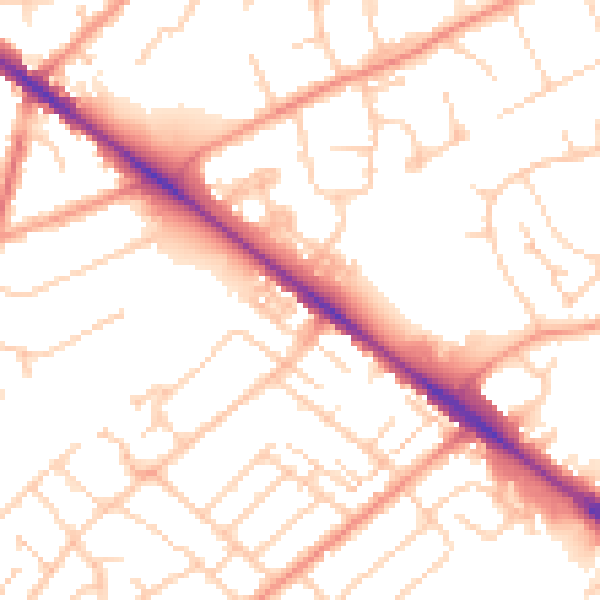
Daytime· 07:00 – 23:00
52.6dB

Night-time· 23:00 – 07:00
41.9dB