1 Banbury Avenue, Southampton, SO19 8GH
About 1 Banbury Avenue
1 Banbury Avenue is a detached house in Southampton (SO19 8GH). It has a recorded floor area of 80 m² (around 861 sq ft), construction records dating it to 1967-1975 and council tax band C. The latest certificate (October 2021) shows a C (score 74). When first surveyed in November 2008 the rating was D, the property has climbed 1 band since. Between certificates, window efficiency went from Average to Good and lighting went from Poor to Very Good; while roof efficiency dropped from Average to Poor. The recommended improvements would push it to B (score 88).
5 planning records sit against the property, 1 approved, 3 refused. Past consents include partial demolition, meaningful when judging how the property has evolved. At 80 m² it's 19.4% larger than the typical home in the postcode (67 m² median across 35 EPCs). Across 2007–2022, sale prices on this property compounded at 2.3% per year. On a £-per-square-foot basis, the last sale (£314/sq ft) was about 59.3% above the typical sold price in the postcode. Sold May 2022 for £270,000. That sale was during the post-pandemic price surge, when transactions cleared materially above pre-2020 trend.
Everything you need to know about 1 Banbury Avenue
The true value, the hidden risks and the full sale history, in one report.
Pick your report · every report is £14.99
One time fee only - money back guarantee

The data behind every report


Energy performance
EPC Rating
Property Improvements
Changes detected from historical EPC data
Heating controls upgraded for better temperature management
Roof insulation improved
Window efficiency improved
More low energy lighting installed
Get a survey for this property
Level 2 HomeBuyer Report
We've checked 10 risk factors against the available data for this property and believe a Level 2 HomeBuyer Report could be a suitable option for you.
From £545 · Includes VAT
Planning history
Planning history includes recorded demolition works, indicating a major rebuild phase at this address.
5 applications on record at 1 Banbury Avenue, Southampton, SO19 8GH
- Dec 2007ExtensionFullOutcome in report
Extension: Two storey · Side of property
Erection of a two storey side extension to enable the conversion of the dwelling into 4 x 2 bed flats with associated parking & cycle/bin storage.
- Documents
- 13 docs on file
- Reference
- 07/01630/FUL
- More recent applications — locked
- ConditionsAug 2011Decision
- DemolitionNov 2009Decision
+ 2 more applications in the report
Unlock 1 Banbury Avenue, Southampton, SO19 8GH's full planning history
You're seeing the shape of it. The report has the substance.
- Every decision — granted, refused or withdrawn (5 on record)
- All 5 applications on this property in full
- The 44 documents, officer reports & conditions
- What the pattern means for extending or converting here
One time fee only - money back guarantee
Sales history & valuation
The latest sale landed in the post-pandemic price surge — useful context when reading the figure.
£291,000
Modelled from EPC, postcode comparables and a sale-price growth of 2.3% per year over 15 years.
£270,000
Growth on file: 2.3% per year over 15 years.
Sales timeline
12 May 2022Most recent
£270,000
+13.9%over 2 years10 December 2019
£237,000
+22.8%over 12 years13 September 2007
£193,000
Median price across the last 5 sales in SO19 8GH: £212,000 (2025–2023).
Nearby sales in SO19 8GH
8 Banbury Avenue, Southampton, SO19 8GH
Sold Mar 2025
£205,00048 Banbury Avenue, Southampton, SO19 8GH
Sold Nov 2024
£212,00018 Banbury Avenue, Southampton, SO19 8GH
Sold Apr 2024
£208,00023 Banbury Avenue, Southampton, SO19 8GH
Sold Jul 2023
£270,00027 Banbury Avenue, Southampton, SO19 8GH
Sold May 2023
£280,000
Versus other Banbury Avenue homes
EPC Rating for 1 Banbury Avenue runs comfortably ahead of the street norm.
Price per m²
£3,375
Street avg £2,966
Floor Area
80 m²
Street avg 78 m²
Habitable Rooms
4 rooms
Street avg 5 rooms
CO₂ Emissions
2.1 t/year
Street avg 2.9 t/year
Everything you need to know about 1 Banbury Avenue
The true value, the hidden risks and the full sale history, in one report.
Pick your report · every report is £14.99
One time fee only - money back guarantee
The data behind every report
Similar properties nearby
The neighbourhood at a glance
Crime
12/mo
Steady year-on-year across the wider district.
Nearest stop
0.1 km
Gladstone Road — bus stop.
Closest school
0.6 km
Thornhill Primary School. 28 schools nearby.
Go deeper on the local area
A Local Area report breaks down crime, transport links, schools and air quality in depth.
Road noise across the postcode
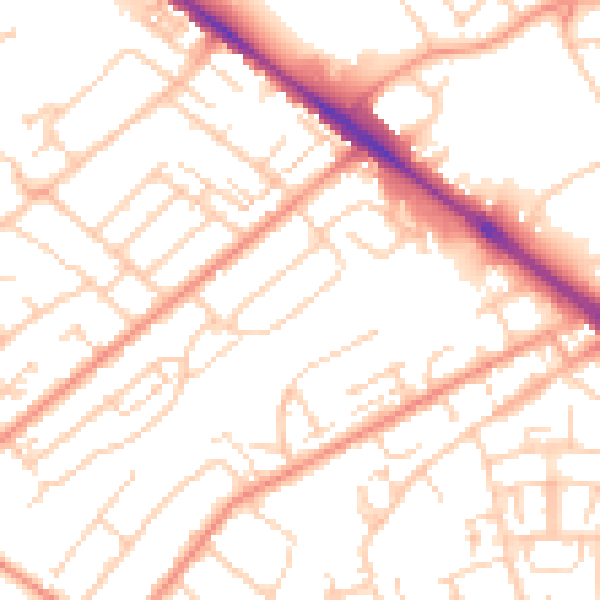
Daytime· 07:00 – 23:00
52.4dB

Night-time· 23:00 – 07:00
41.0dB