2 Sullivan Road, Southampton, SO19 0HS
About 2 Sullivan Road
2 Sullivan Road is a two-bedroom property in Southampton (SO19 0HS). It has a recorded floor area of 48 m² (around 519 sq ft), construction records dating it to 1967-1975 and council tax band A. At 48 m² this is the smallest unit on EPC record across the building (48–133 m²). The building's EPC ratings span D to B, with this unit at the bottom. The latest certificate (December 2010) shows a D (score 64), on the cusp of jumping into the C band. The recommended improvements would push it to C (score 76). The latest certificate is from December 2010, so improvements made since then won't be reflected.
At 48 m² it sits well below the postcode median (84 m² across 20 EPCs), making it one of the more compact homes locally. It lags the bulk of the postcode on energy efficiency (less efficient than 75% of similar EPCs). Most recent transfer: September 2018 at £160,000. Across the public record there are 5 sales, relatively high churn for a single property. Across 2001–2018, sale prices on this property compounded at 6.4% per year. Today's modelled estimate of £182,000 is 13.7% above the 2018 sale price. On a £-per-square-foot basis, the last sale (£308/sq ft) was about 101.4% above the typical sold price in the postcode.
What this property has
Inside
- Bedrooms2
- Bathrooms1
Outside
- Private gardenRear
- GarageYes
Building
- RefurbishedYes
Everything you need to know about 2 Sullivan Road
The true value, the hidden risks and the full sale history, in one report.
Pick your report · every report is £14.99
One time fee only - money back guarantee

The data behind every report


Energy performance
2 Sullivan Road's EPC is over a decade old — improvements since won't be reflected.
EPC Expired
This certificate is over 10 years old and is no longer valid.Expired 18 Dec 2020
EPC Rating
Get a survey for this property
Level 2 HomeBuyer Report
We've checked 10 risk factors against the available data for this property and believe a Level 2 HomeBuyer Report could be a suitable option for you.
From £495 · Includes VAT
Planning history
2 Sullivan Road has no planning applications on record.
A planning report still maps activity across the surrounding area and reads this property's extension & conversion potential.
Sales history & valuation
2 Sullivan Road has more than doubled in price since the earliest registered sale in 2001.
£182,000
Modelled from EPC, postcode comparables and a sale-price growth of 6.4% per year over 17 years.
£160,000
Growth on file: 6.4% per year over 17 years.
Sales timeline
6 September 2018Most recent
£160,000
+20.8%over 11 years28 June 2007
£132,500
+10.4%over 1 year15 September 2005
£120,000
+14.3%over 1 year19 December 2003
£105,000
+90.9%over 2 years11 June 2001
£55,000
Median price across the last 5 sales in SO19 0HS: £210,000 (2023–2019).
Nearby sales in SO19 0HS
Versus other Sullivan Road homes
Floor Area for 2 Sullivan Road lags the street by a wide margin.
Price per m²
£3,320
Street avg £2,667
Floor Area
48 m²
Street avg 57 m²
Habitable Rooms
3 rooms
Street avg 3 rooms
CO₂ Emissions
2.6 t/year
Street avg 1.9 t/year
Everything you need to know about 2 Sullivan Road
The true value, the hidden risks and the full sale history, in one report.
Pick your report · every report is £14.99
One time fee only - money back guarantee
The data behind every report
Similar properties nearby
The neighbourhood at a glance
Crime
12/mo
Steady year-on-year across the wider district.
Nearest stop
0.1 km
Parry Road — bus stop.
Closest school
0.4 km
Valentine Primary School & Nursery. 28 schools nearby.
Go deeper on the local area
A Local Area report breaks down crime, transport links, schools and air quality in depth.
Road noise across the postcode
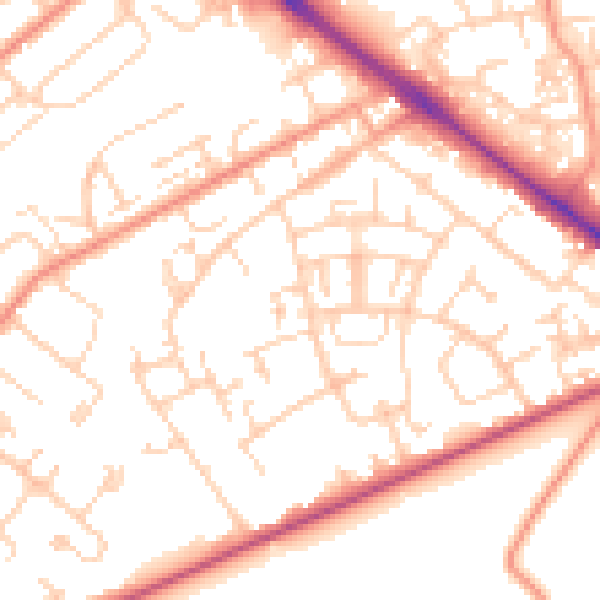
Daytime· 07:00 – 23:00
52.7dB

Night-time· 23:00 – 07:00
41.8dB