1 Ennerdale Gardens, West End, Southampton, SO18 3NR
About 1 Ennerdale Gardens
1 Ennerdale Gardens is a three-bedroom detached house in West End, Southampton, Southampton (SO18 3NR). It has a recorded floor area of 83 m² (around 893 sq ft), construction records dating it to 1983-1990 and council tax band D. The latest certificate (February 2017) shows a C (score 70). The recommended improvements would push it to B (score 85).
Across 2007–2019, sale prices on this property compounded at 3.6% per year. Today's modelled estimate of £410,000 is 22.4% above the 2019 sale price. On a £-per-square-foot basis, the last sale (£375/sq ft) was about 48.3% above the typical sold price in the postcode. Sold February 2019 for £335,000.
What this property has
Inside
- Bedrooms3
- Bathrooms1
- Dining roomYes
- Utility roomYes
- CloakroomYes
Outside
- Private gardenRear
- GarageIntegral
Building
- Heating systemGas
- RefurbishedYes
Everything you need to know about 1 Ennerdale Gardens
The true value, the hidden risks and the full sale history, in one report.
30-day money-back guarantee

The data behind every report


Energy performance
EPC Rating
Planning history
1 Ennerdale Gardens has no planning applications on record.
Notable planning nearby
1applications of note in the surrounding area
Sales history & valuation
1 Ennerdale Gardens valuation sits well clear of the typical sold price in this postcode.
£410,000
Modelled from EPC, postcode comparables and a sale-price growth of 3.6% per year over 12 years.
£335,000
Growth on file: 3.6% per year over 12 years.
Sales timeline
22 February 2019Most recent
£335,000
+11.7%over 1 year17 August 2017
£300,000
+37.6%over 10 years26 January 2007
£218,000
Median price across the last 5 sales in SO18 3NR: £274,000 (2023–2017).
Nearby sales in SO18 3NR
7 Ennerdale Gardens, West End, Southampton, SO18 3NR
Sold Jan 2023
£360,00016 Ennerdale Gardens, West End, Southampton, SO18 3NR
Sold Oct 2020
£282,0008 Ennerdale Gardens, West End, Southampton, SO18 3NR
Sold Jan 2019
£274,0004 Ennerdale Gardens, West End, Southampton, SO18 3NR
Sold Oct 2017
£243,5003 Ennerdale Gardens, West End, Southampton, SO18 3NR
Sold Aug 2017
£260,000
Versus other Ennerdale Gardens homes
Years Held for 1 Ennerdale Gardens lags the street by a wide margin.
Price per m²
£4,036
Street avg £3,167
Floor Area
83 m²
Street avg 79 m²
Habitable Rooms
4 rooms
Street avg 5 rooms
CO₂ Emissions
2.7 t/year
Street avg 3.1 t/year
Everything you need to know about 1 Ennerdale Gardens
The true value, the hidden risks and the full sale history, in one report.
30-day money-back guarantee
The data behind every report
Similar properties nearby
1 Barle Close, West End
SO18 3QN
1 Hill Cottage Gardens, West End
SO18 3AD
1 Farmhouse, Mansbridge Road, West End
SO18 3HW
1 Atlantic Park View, West End
SO18 3RR
1 Gatcombe Gardens, West End
SO18 3NA
1 Eden Road, West End
SO18 3QW
1 Grasmere Close, West End
SO18 3NP
1 Coopers Close, West End
SO18 3DE
The neighbourhood at a glance
Reported crime in the wider district is trending notably upward year-on-year.
Crime
6/mo
Rising year-on-year across the wider district.
Nearest stop
0.3 km
Cerne Close — bus stop.
Closest school
0.3 km
Moorlands Primary School. 23 schools nearby.
Go deeper on the local area
The full report breaks down crime, transport links, schools and air quality in depth.
Road noise across the postcode
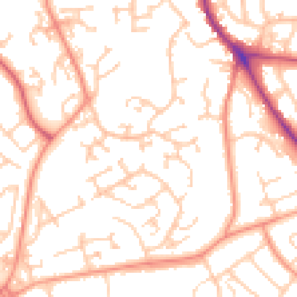
Daytime· 07:00 – 23:00
52.5dB

Night-time· 23:00 – 07:00
42.4dB