Swan Quay, Flat 16, 25 Vespasian Road, Southampton, SO18 1DU
About Swan Quay
Swan Quay is a property in Southampton (SO18 1DU). It has council tax band D.
Held since July 1997 — that's 29 years off the open market, well above the local norm. Only one transfer is on record with HM Land Registry, suggesting it has stayed in the same hands for a long time.
Everything you need to know about Swan Quay
The true value, the hidden risks and the full sale history, in one report.
30-day money-back guarantee

The data behind every report


Energy performance
No EPC on record
This property doesn't have an Energy Performance Certificate yet. An EPC is required to sell or let — and unlocks our automated valuation.
Planning history
Swan Quay has no planning applications on record.
Notable planning nearby
5applications of note in the surrounding area
We flagged 1 thing worth checking at Swan Quay
Independent checks surfaced things a buyer would want to understand before offering. The report explains each one in full, with the underlying data and what to ask.
- Signs of HMO activity in the area
30-day money-back guarantee
Sales history & valuation
Swan Quay has been held in the same hands since before 2000.
£90,000
Recorded with HM Land Registry.
Sales timeline
30 July 1997Most recent
£90,000
Median price across the last 5 sales in SO18 1DU: £230,000 (2024–2018).
Nearby sales in SO18 1DU
Swan Quay, Flat 12, 25 Vespasian Road, Southampton, SO18 1DU
Sold Apr 2024
£240,000Swan Quay, Flat 15, 25 Vespasian Road, Southampton, SO18 1DU
Sold Oct 2022
£236,000Swan Quay, Flat 23, 25 Vespasian Road, Southampton, SO18 1DU
Sold Jul 2022
£230,000Swan Quay, Flat 7, 25 Vespasian Road, Southampton, SO18 1DU
Sold Aug 2019
£137,500Swan Quay, Flat 5, 25 Vespasian Road, Southampton, SO18 1DU
Sold Jul 2015
£139,000
Everything you need to know about Swan Quay
The true value, the hidden risks and the full sale history, in one report.
30-day money-back guarantee
The data behind every report
Similar properties nearby
127 129, Flat 1, Newton Road
SO18 1NH
127 129, Flat 2, Newton Road
SO18 1NH
127 129, Flat 3, Newton Road
SO18 1NH
127 129, Flat 4, Newton Road
SO18 1NH
127 129, Flat 5, Newton Road
SO18 1NH
127 129, Flat 6, Newton Road
SO18 1NH
127 129, Flat 7, Newton Road
SO18 1NH
22a, Flat 1, Harcourt Road
SO18 1GP
The neighbourhood at a glance
Rail-style transport is unusually close for this postcode.
Crime
6/mo
Rising year-on-year across the wider district.
Nearest stop
0.2 km
Rampart Road — bus stop.
Closest school
0.4 km
Bitterne Manor Primary School. 40 schools nearby.
Go deeper on the local area
The full report breaks down crime, transport links, schools and air quality in depth.
Road noise across the postcode
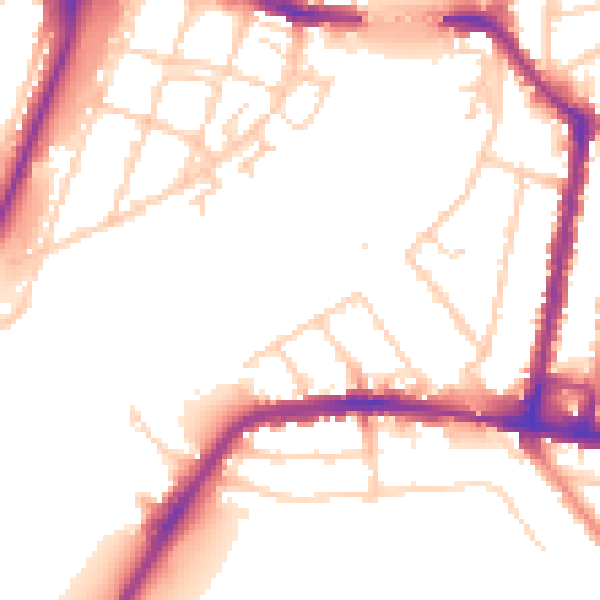
Daytime· 07:00 – 23:00
52.8dB

Night-time· 23:00 – 07:00
44.5dB