1 Beech Grove, Highworth, Swindon, SN6 7BN
About 1 Beech Grove
1 Beech Grove is a three-bedroom detached house in Highworth, Swindon, Swindon (SN6 7BN). It has a recorded floor area of 113 m² (around 1221 sq ft), construction records dating it to 1950-1966 and council tax band F. The latest certificate (March 2010) shows a C (score 71). The latest certificate is from March 2010, so improvements made since then won't be reflected.
Untraded for 20 years, with the last transfer in June 2006. Today's modelled estimate of £471,000 sits 64.1% above the 2006 sale of £287,000. On a £-per-square-foot basis, the last sale (£235/sq ft) was about 42% above the typical sold price in the postcode. At 113 m² it's 24.5% smaller than the typical home in the postcode (150 m² median across 3 EPCs).
What this property has
Inside
- Bedrooms3
- Dining roomYes
- Utility roomYes
- CloakroomYes
Outside
- Private gardenYes
- GarageYes
Building
- RefurbishedYes
Everything you need to know about 1 Beech Grove
The true value, the hidden risks and the full sale history, in one report.
Pick your report · every report is £14.99
One time fee only - money back guarantee

The data behind every report


Energy performance
1 Beech Grove's EPC is over a decade old — improvements since won't be reflected.
EPC Expired
This certificate is over 10 years old and is no longer valid.Expired 29 Mar 2020
EPC Rating
Get a survey for this property
Level 2 HomeBuyer Report
We've checked 10 risk factors against the available data for this property and believe a Level 2 HomeBuyer Report could be a suitable option for you.
From £695 · Includes VAT
Planning history
1 Beech Grove has no planning applications on record.
But the area is active
12 notable applications nearby — larger schemes and conversions that could reshape the street. The report maps them all.
Sales history & valuation
1 Beech Grove valuation sits well clear of the typical sold price in this postcode.
£471,000
Modelled from EPC, postcode comparables.
£287,000
Recorded with HM Land Registry.
Sales timeline
1 June 2006Most recent
£287,000
Median price across the last 5 sales in SN6 7BN: £337,500 (2023–1997).
Versus other Beech Grove homes
Years Held for 1 Beech Grove runs comfortably ahead of the street norm.
Price per m²
£2,531
Street avg £2,912
Floor Area
113 m²
Street avg 148 m²
Habitable Rooms
5 rooms
Street avg 6 rooms
CO₂ Emissions
3.8 t/year
Street avg 6.2 t/year
Everything you need to know about 1 Beech Grove
The true value, the hidden risks and the full sale history, in one report.
Pick your report · every report is £14.99
One time fee only - money back guarantee
The data behind every report
Similar properties nearby
1 Bydemill Gardens, Highworth
SN6 7BS
1 Folly Drive, Highworth
SN6 7JR
1 Barra Close, Highworth
SN6 7HX
1 Crane Furlong, Highworth
SN6 7JX
1 Bute Close, Highworth
SN6 7HN
1 Coffin Close, Highworth
SN6 7HA
1 Edencroft, Highworth
SN6 7NJ
1 Cherry Orchard, Highworth
SN6 7AU
The neighbourhood at a glance
Daytime road noise here sits well below conversation level — a quiet pocket of the postcode.
Crime
2/mo
Steady year-on-year across the wider district.
Nearest stop
0.1 km
Swindon Street — bus stop.
Closest school
0.2 km
Highworth Warneford School. 4 schools nearby.
Go deeper on the local area
A Local Area report breaks down crime, transport links, schools and air quality in depth.
Road noise across the postcode
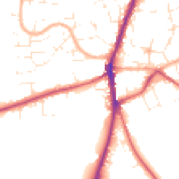
Daytime· 07:00 – 23:00
49.9dB

Night-time· 23:00 – 07:00
40.7dB