113 High Street, Cricklade, Swindon, SN6 6AE
About 113 High Street
113 High Street is a property in Cricklade, Swindon, Swindon (SN6 6AE).
9 planning records sit against the property, 7 approved, 0 refused. Past consents include an extension and partial demolition, meaningful when judging how the property has evolved. Last sale on file: £500,000 in March 2021. That sale was during the post-pandemic price surge, when transactions cleared materially above pre-2020 trend.
Everything you need to know about 113 High Street
The true value, the hidden risks and the full sale history, in one report.
Pick your report · every report is £14.99
One time fee only - money back guarantee

The data behind every report


Energy performance
No EPC on record
This property doesn't have an Energy Performance Certificate yet. An EPC is required to sell or let — and unlocks our automated valuation.
Get a survey for this property
Level 2 HomeBuyer Report
We've checked 10 risk factors against the available data for this property and believe a Level 2 HomeBuyer Report could be a suitable option for you.
Planning history
Planning history includes recorded demolition works, indicating a major rebuild phase at this address.
9 applications on record at 113 High Street, Cricklade, Swindon, SN6 6AE
- Jul 2000MixedHeritageOutcome in report
PART DEMOLITION, INTERNAL AND EXTERNAL ALTERATIONS AND EXTENSIONS.
- Reference
- N/00/00888/LBC
- More recent applications — locked
- FullAug 2018Decision
- RenovationFeb 2016Decision
+ 6 more applications in the report
Unlock 113 High Street, Cricklade, Swindon, SN6 6AE's full planning history
You're seeing the shape of it. The report has the substance.
- Every decision — granted, refused or withdrawn (9 on record)
- All 9 applications on this property in full, plus 4 notable nearby
- The 19 documents, officer reports & conditions
- What the pattern means for extending or converting here
One time fee only - money back guarantee
Sales history & valuation
The latest sale landed in the post-pandemic price surge — useful context when reading the figure.
£500,000
Recorded with HM Land Registry.
Sales timeline
25 March 2021Most recent
£500,000
Median price across the last 5 sales in SN6 6AE: £540,000 (2022–2015).
Nearby sales in SN6 6AE
110 High Street, Cricklade, Swindon, SN6 6AE
Sold Dec 2022
£295,000108 High Street, Cricklade, Swindon, SN6 6AE
Sold May 2022
£540,000109 High Street, Cricklade, Swindon, SN6 6AE
Sold Jan 2018
£778,500114 High Street, Cricklade, Swindon, SN6 6AE
Sold May 2017
£965,000115a, High Street, Cricklade, Swindon, SN6 6AE
Sold Mar 2015
£350,000
Everything you need to know about 113 High Street
The true value, the hidden risks and the full sale history, in one report.
Pick your report · every report is £14.99
One time fee only - money back guarantee
The data behind every report
Similar properties nearby
1 Abingdon Court Farm, Cricklade
SN6 6BZ
1 Abingdon Court Lane, Cricklade
SN6 6BL
1 Ashfield, Ashton Keynes
SN6 6SD
1 Bailiffs Piece, Cricklade
SN6 6NE
1 Barn Cottage, North End, Ashton Keynes
SN6 6QR
1 Bath Court, Bath Road, Cricklade
SN6 6DY
1 Birch Glade, Park Place, Ashton Keynes
SN6 6PX
1 Bishopsfield, Cricklade
SN6 6BS
The neighbourhood at a glance
Daytime road noise here sits well below conversation level — a quiet pocket of the postcode.
Crime
2/mo
Steady year-on-year across the wider district.
Nearest stop
0.1 km
High Street — bus stop.
Closest school
0.2 km
St Sampson's Church of England Primary School. 1 school nearby.
Go deeper on the local area
A Local Area report breaks down crime, transport links, schools and air quality in depth.
Road noise across the postcode
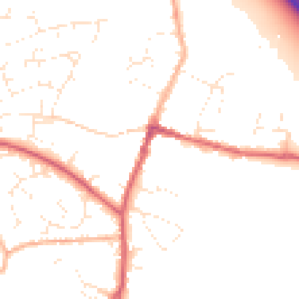
Daytime· 07:00 – 23:00
49.7dB
Night-time· 23:00 – 07:00
40.7dB