1 Bardsey Close, Royal Wootton Bassett, Swindon, SN4 8NA
About 1 Bardsey Close
1 Bardsey Close is a detached house in Royal Wootton Bassett, Swindon, Swindon (SN4 8NA). It has a recorded floor area of 89 m² (around 958 sq ft), construction records dating it to 1991-1995 and council tax band D. The latest certificate (November 2024) shows a C (score 69), just inside the C band. The recommended improvements would push it to B (score 83).
Everything you need to know about 1 Bardsey Close
The true value, the hidden risks and the full sale history, in one report.
Pick your report · every report is £14.99
One time fee only - money back guarantee

The data behind every report


Energy performance
EPC Rating
Get a survey for this property
Level 2 HomeBuyer Report
We've checked 10 risk factors against the available data for this property and believe a Level 2 HomeBuyer Report could be a suitable option for you.
From £595 · Includes VAT
Planning history
1 Bardsey Close has no planning applications on record.
But the area is active
1 notable application nearby — larger schemes and conversions that could reshape the street. The report maps them all.
Sales history & valuation
1 Bardsey Close has no Land Registry sales on file, suggesting it has stayed in the same hands since registration began.
£354,000
Modelled from EPC, postcode comparables.
No sales recorded with HM Land Registry
That can mean the property has never traded since the registry began publishing in 1995, was a new build that hasn't been registered yet, or is held in the same hands long-term.
Median price across the last 5 sales in SN4 8NA: £250,000 (2025–2024).
Nearby sales in SN4 8NA
27 Bardsey Close, Royal Wootton Bassett, Swindon, SN4 8NA
Sold Oct 2025
£256,00023 Bardsey Close, Royal Wootton Bassett, Swindon, SN4 8NA
Sold Sept 2025
£390,0007 Bardsey Close, Royal Wootton Bassett, Swindon, SN4 8NA
Sold Dec 2024
£250,00022 Bardsey Close, Royal Wootton Bassett, Swindon, SN4 8NA
Sold Oct 2024
£240,00038 Bardsey Close, Royal Wootton Bassett, Swindon, SN4 8NA
Sold Mar 2023
£375,000
Versus other Bardsey Close homes
EPC Rating
69 (C)
Street avg 64 (D)
Floor Area
89 m²
Street avg 89 m²
CO₂ Emissions
3.4 t/year
Street avg 3.9 t/year
Habitable Rooms
5 rooms
Street avg 5 rooms
Everything you need to know about 1 Bardsey Close
The true value, the hidden risks and the full sale history, in one report.
Pick your report · every report is £14.99
One time fee only - money back guarantee
The data behind every report
Similar properties nearby
1 Blain Place, Royal Wootton Bassett
SN4 8FF
1 Branscombe Drive, Royal Wootton Bassett
SN4 8HP
1 Bennett Hill Close, Royal Wootton Bassett
SN4 8LR
1 Arnold Court, Coped Hall, Royal Wootton Bassett
SN4 8ES
1 Drury Close, Hook
SN4 8EL
1 Chaucer Close, Royal Wootton Bassett
SN4 8JX
1 Byron Avenue, Royal Wootton Bassett
SN4 8EY
1 Cricketers Close, Royal Wootton Bassett
SN4 8JD
The neighbourhood at a glance
Crime
2/mo
Steady year-on-year across the wider district.
Nearest stop
0.2 km
Keats Close — bus stop.
Closest school
0.6 km
Longleaze Primary School. 5 schools nearby.
Go deeper on the local area
A Local Area report breaks down crime, transport links, schools and air quality in depth.
Road noise across the postcode
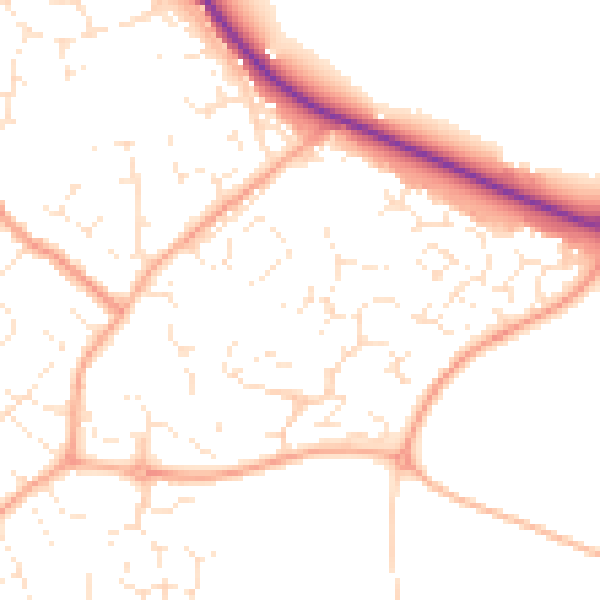
Daytime· 07:00 – 23:00
50.9dB

Night-time· 23:00 – 07:00
40.2dB