23 Beauchamp Road, Sutton, SM1 2PY
About 23 Beauchamp Road
23 Beauchamp Road is a two-bedroom end-of-terrace house in Sutton (SM1 2PY). It has a recorded floor area of 86 m² (around 926 sq ft), construction records dating it to 1900-1929 and council tax band C. The latest certificate (March 2020) shows a D (score 58), a step below the typical UK home. The recommended improvements would lift it to B (score 83), a 2-band jump. Period features are noted in the property record.
Across 1996–2020, sale prices on this property compounded at 7.7% per year. Today's modelled estimate of £448,000 is 17.3% above the 2020 sale price. On a £-per-square-foot basis, the last sale (£413/sq ft) was about 71.3% above the typical sold price in the postcode. Most recent transfer: July 2020 at £382,000.
What this property has
Inside
- Bedrooms2
- Bathrooms1
- Dining roomYes
Building
- Period featuresYes
Everything you need to know about 23 Beauchamp Road
The true value, the hidden risks and the full sale history, in one report.
30-day money-back guarantee

The data behind every report


Energy performance
Recommended upgrades on file would lift this property by multiple EPC bands.
EPC Rating
Planning history
23 Beauchamp Road has no planning applications on record.
Notable planning nearby
12applications of note in the surrounding area
We flagged 2 things worth checking at 23 Beauchamp Road
Independent checks surfaced things a buyer would want to understand before offering. The report explains each one in full, with the underlying data and what to ask.
- Signs of HMO activity in the area
- Larger development activity nearby
30-day money-back guarantee
Sales history & valuation
Price for 23 Beauchamp Road has grown more than fourfold since the 1996 starting point.
£448,000
Modelled from EPC, postcode comparables and a sale-price growth of 7.7% per year over 24 years.
£382,000
Growth on file: 7.7% per year over 24 years.
Sales timeline
14 July 2020Most recent
£382,000
+499.2%over 24 years30 May 1996
£63,750
Median price across the last 5 sales in SM1 2PY: £520,000 (2025–2022).
Versus other Beauchamp Road homes
23 Beauchamp Road is notably below the street on floor area.
Price per m²
£4,442
Street avg £3,671
Floor Area
86 m²
Street avg 95 m²
Habitable Rooms
4 rooms
Street avg 5 rooms
CO₂ Emissions
4.3 t/year
Street avg 4.1 t/year
Everything you need to know about 23 Beauchamp Road
The true value, the hidden risks and the full sale history, in one report.
30-day money-back guarantee
The data behind every report
Similar properties nearby
1 Cormorant Place, Cheam
SM1 2XD
1 Chaucer Road
SM1 2QP
1 Chester Close
SM1 2PP
1 Bourne Way, Cheam
SM1 2EN
1 Ashton Close
SM1 2HJ
1 Elmbrook Road, Cheam
SM1 2JF
1 Alma Crescent, Cheam
SM1 2LN
1 Dibdin Close
SM1 2PJ
The neighbourhood at a glance
Rail-style transport is unusually close for this postcode.
Crime
9/mo
Rising year-on-year across the wider district.
Nearest stop
0.3 km
Collingwood Road / Bushey Road — bus stop.
Closest school
0.3 km
Robin Hood Infants' School. 45 schools nearby.
Go deeper on the local area
The full report breaks down crime, transport links, schools and air quality in depth.
Road noise across the postcode

Daytime· 07:00 – 23:00
52.5dB
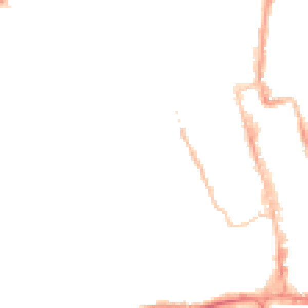
Night-time· 23:00 – 07:00
41.9dB