45 Gander Green Lane, Sutton, SM1 2EG
About 45 Gander Green Lane
45 Gander Green Lane is a semi-detached house in Sutton (SM1 2EG). It has a recorded floor area of 77 m² (around 829 sq ft), construction records dating it to 1950-1966 and council tax band D. The latest certificate (September 2025) shows a C (score 71).
At 77 m² it's 17.2% smaller than the typical home in the postcode (93 m² median across 12 EPCs). Its energy rating outperforms most of the postcode (better than 83% of similar EPCs).
Everything you need to know about 45 Gander Green Lane
The true value, the hidden risks and the full sale history, in one report.
30-day money-back guarantee

The data behind every report


Energy performance
EPC Rating
Planning history
45 Gander Green Lane has no planning applications on record.
Notable planning nearby
12applications of note in the surrounding area
We flagged 2 things worth checking at 45 Gander Green Lane
Independent checks surfaced things a buyer would want to understand before offering. The report explains each one in full, with the underlying data and what to ask.
- Signs of HMO activity in the area
- Larger development activity nearby
30-day money-back guarantee
Sales history & valuation
45 Gander Green Lane has no Land Registry sales on file, suggesting it has stayed in the same hands since registration began.
£546,000
Modelled from EPC, postcode comparables.
No sales recorded with HM Land Registry
That can mean the property has never traded since the registry began publishing in 1995, was a new build that hasn't been registered yet, or is held in the same hands long-term.
Median price across the last 5 sales in SM1 2EG: £600,000 (2025–2024).
Nearby sales in SM1 2EG
Versus other Gander Green Lane homes
Floor Area for 45 Gander Green Lane lags the street by a wide margin.
EPC Rating
71 (C)
Street avg 60 (D)
Floor Area
77 m²
Street avg 104 m²
CO₂ Emissions
2.3 t/year
Street avg 5.0 t/year
Habitable Rooms
5 rooms
Street avg 5 rooms
Everything you need to know about 45 Gander Green Lane
The true value, the hidden risks and the full sale history, in one report.
30-day money-back guarantee
The data behind every report
Similar properties nearby
1 Elizabeth Close, Cheam
SM1 2JW
1 Alexandra Avenue
SM1 2NZ
1 Frederick Close, Cheam
SM1 2HY
1 Denbigh Close, Cheam
SM1 2HS
1 Clyde Road
SM1 2RR
1 Burford Road
SM1 2NJ
1 Albany Mews, Camden Road
SM1 2RE
1 Broomloan Lane
SM1 2PL
The neighbourhood at a glance
Rail-style transport is unusually close for this postcode.
Crime
9/mo
Rising year-on-year across the wider district.
Nearest stop
0.1 km
Cheam Road / Gander Green Lane — bus stop.
Closest school
0.5 km
Robin Hood Infants' School. 35 schools nearby.
Go deeper on the local area
The full report breaks down crime, transport links, schools and air quality in depth.
Road noise across the postcode
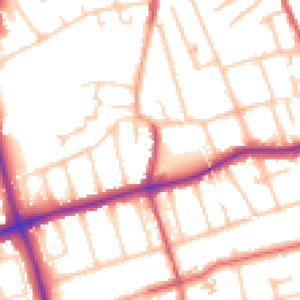
Daytime· 07:00 – 23:00
52.3dB

Night-time· 23:00 – 07:00
42.7dB