Roddell Place, Flat 2, 83 Belgrave Road, Slough, SL1 3RG
About Roddell Place
Roddell Place is a semi-detached house in Slough (SL1 3RG). It has a recorded floor area of 39 m² (around 420 sq ft), construction records dating it to 2003-2006 and council tax band B. At 39 m² this is the 2nd smallest of 6 units on EPC record in Roddell Place, where floor areas span 38–47 m². The building's EPC ratings span C to B, with this unit at the bottom. On EPC score it ranks last in the building (76 versus a best of 85). The latest certificate (May 2018) shows a C (score 76), near the top of the C band.
Across 2006–2018, sale prices on this property compounded at 4.4% per year. Today's modelled estimate of £190,000 is 25% below the 2018 sale of £253,260, a rare downward gap that often correlates with deferred maintenance or unfinished works. On a £-per-square-foot basis, the last sale (£603/sq ft) was about 159.5% above the typical sold price in the postcode. At 39 m² it sits well below the postcode median (69 m² across 32 EPCs), making it one of the more compact homes locally. Its energy rating outperforms most of the postcode (better than 81% of similar EPCs). Sold July 2018 for £253,260.
Everything you need to know about Roddell Place
The true value, the hidden risks and the full sale history, in one report.
Pick your report · every report is £14.99
One time fee only - money back guarantee

The data behind every report


Energy performance
Roddell Place's carbon output is low for the local stock.
EPC Rating
Get a survey for this property
Level 2 HomeBuyer Report
We've checked 10 risk factors against the available data for this property and believe a Level 2 HomeBuyer Report could be a suitable option for you.
From £495 · Includes VAT
Planning history
Roddell Place has no planning applications on record.
But the area is active
16 notable applications nearby — larger schemes and conversions that could reshape the street. The report maps them all.
Sales history & valuation
£190,000
Modelled from EPC, postcode comparables and a sale-price growth of 4.4% per year over 12 years.
£253,260
Growth on file: 4.4% per year over 12 years.
Sales timeline
12 July 2018Most recent
£253,260
+68.8%over 12 years11 May 2006
£150,000
Median price across the last 5 sales in SL1 3RG: £385,000 (2024–2023).
Versus other Belgrave Road homes
Price per m²
£6,494
Street avg £5,047
Floor Area
39 m²
Street avg 42 m²
Habitable Rooms
2 rooms
Street avg 2 rooms
CO₂ Emissions
1.2 t/year
Street avg 2.0 t/year
Everything you need to know about Roddell Place
The true value, the hidden risks and the full sale history, in one report.
Pick your report · every report is £14.99
One time fee only - money back guarantee
The data behind every report
Similar properties nearby
Alton Place, Flat 4, 89 Hampshire Avenue
SL1 3AG
Alton Place, Flat 2, 89 Hampshire Avenue
SL1 3AG
Alton Place, Flat 1, 89 Hampshire Avenue
SL1 3AG
Alton Place, Flat 3, 89 Hampshire Avenue
SL1 3AG
Aquifer House, Flat 21, Exploration Way
SL1 3GX
Aquifer House, Flat 15, Exploration Way
SL1 3GX
Aquifer House, Flat 27, Exploration Way
SL1 3GX
Aquifer House, Flat 11, Exploration Way
SL1 3GX
The neighbourhood at a glance
Rail-style transport is unusually close for this postcode.
Crime
18/mo
Rising year-on-year across the wider district.
Nearest stop
0.2 km
Queens Road — bus stop.
Closest school
0.4 km
James Elliman Academy. 30 schools nearby.
Go deeper on the local area
A Local Area report breaks down crime, transport links, schools and air quality in depth.
Road noise across the postcode
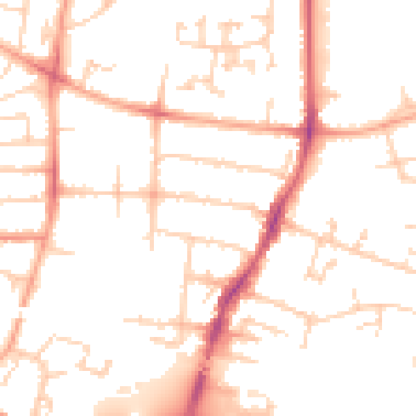
Daytime· 07:00 – 23:00
50.3dB

Night-time· 23:00 – 07:00
40.0dB