85 Belgrave Road, Slough, SL1 3RG
About 85 Belgrave Road
85 Belgrave Road is a one-bedroom property in Slough (SL1 3RG).
Across 1998–2024, sale prices on this property compounded at 4.7% per year. Sold March 2024 for £144,500.
What this property has
Inside
- Bedrooms1
Outside
- ParkingOff street
Building
- Heating systemElectric
Everything you need to know about 85 Belgrave Road
The true value, the hidden risks and the full sale history, in one report.
Pick your report · every report is £14.99
One time fee only - money back guarantee

The data behind every report


Energy performance
No EPC on record
This property doesn't have an Energy Performance Certificate yet. An EPC is required to sell or let — and unlocks our automated valuation.
Get a survey for this property
Level 2 HomeBuyer Report
We've checked 10 risk factors against the available data for this property and believe a Level 2 HomeBuyer Report could be a suitable option for you.
Planning history
85 Belgrave Road has no planning applications on record.
But the area is active
16 notable applications nearby — larger schemes and conversions that could reshape the street. The report maps them all.
Sales history & valuation
85 Belgrave Road has more than tripled in price since its earliest registered sale in 1998.
£144,500
Growth on file: 4.7% per year over 26 years.
Sales timeline
15 March 2024Most recent
£144,500
-9.7%over 7 years12 December 2016
£160,000
+30.1%over 9 years17 October 2007
£123,000
-1.6%24 July 2007
£124,950
+11.3%over 10 months17 September 2006
£112,225
+3.0%over 1 year30 May 2005
£109,000
+9.0%over 1 year1 March 2004
£100,000
+5.3%28 November 2003
£95,000
+8.0%over 1 year22 September 2002
£88,000
+31.3%over 1 year14 June 2001
£67,000
+48.9%over 2 years23 July 1998
£45,000
Median price across the last 5 sales in SL1 3RG: £385,000 (2024–2022).
Everything you need to know about 85 Belgrave Road
The true value, the hidden risks and the full sale history, in one report.
Pick your report · every report is £14.99
One time fee only - money back guarantee
The data behind every report
Similar properties nearby
The neighbourhood at a glance
Rail-style transport is unusually close for this postcode.
Crime
18/mo
Rising year-on-year across the wider district.
Nearest stop
0.2 km
Queens Road — bus stop.
Closest school
0.4 km
James Elliman Academy. 30 schools nearby.
Go deeper on the local area
A Local Area report breaks down crime, transport links, schools and air quality in depth.
Road noise across the postcode
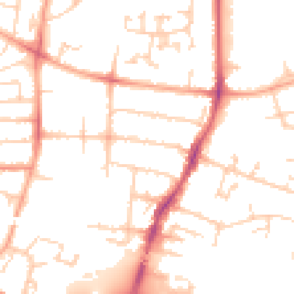
Daytime· 07:00 – 23:00
50.3dB

Night-time· 23:00 – 07:00
40.0dB