8 Brabyns Avenue, Romiley, Stockport, SK6 4NG
About 8 Brabyns Avenue
8 Brabyns Avenue is a property in Romiley, Stockport, Stockport (SK6 4NG). It has council tax band E.
Energy performance
No EPC on record
This property doesn't have an Energy Performance Certificate yet. An EPC is required to sell or let — and unlocks our automated valuation.
Get a survey for this property
Level 2 HomeBuyer Report
We've checked 10 risk factors against the available data for this property and believe a Level 2 HomeBuyer Report could be a suitable option for you.
Planning history
No planning applications are recorded against 8 Brabyns Avenue, Romiley, Stockport, SK6 4NG. The full report also covers planning activity across the surrounding area.
Sales history & valuation
No sales recorded with HM Land Registry
That can mean the property has never traded since the registry began publishing in 1995, was a new build that hasn't been registered yet, or is held in the same hands long-term.
Median price across the last 5 sales in SK6 4NG: £475,000 (2024–2018).
Nearby sales in SK6 4NG
6 Brabyns Avenue, Romiley, Stockport, SK6 4NG
Sold Nov 2024
£475,0009 Brabyns Avenue, Romiley, Stockport, SK6 4NG
Sold Feb 2023
£537,5002 Brabyns Avenue, Romiley, Stockport, SK6 4NG
Sold Dec 2022
£351,0007 Brabyns Avenue, Romiley, Stockport, SK6 4NG
Sold Mar 2022
£495,0001 Brabyns Avenue, Romiley, Stockport, SK6 4NG
Sold Oct 2018
£290,000
Similar properties nearby
1 3, Hill End, Werneth Low Road, Romiley
SK6 4PY
1 Aysgarth Avenue, Romiley
SK6 4PX
1 Barlow Fold Road, Romiley
SK6 4LH
1 Barlow Fold, Romiley
SK6 4LQ
1 Barnfield Avenue, Romiley
SK6 4LF
1 Beechwood Avenue, Romiley
SK6 4DL
1 Birchvale Drive, Romiley
SK6 4LD
1 Brabyns Avenue, Romiley
SK6 4NG
The neighbourhood at a glance
Rail-style transport is unusually close for this postcode.
Crime
1/mo
Steady year-on-year across the wider district.
Nearest stop
0.1 km
Marsden Road — bus stop.
Closest school
0.2 km
Romiley Primary School. 17 schools nearby.
Road noise across the postcode
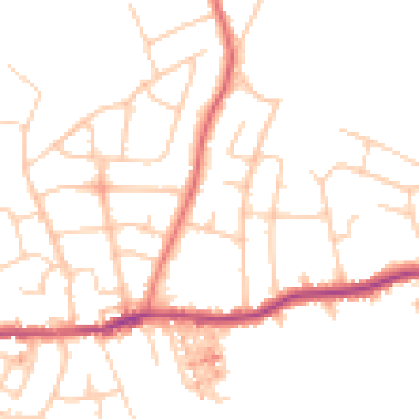
Daytime· 07:00 – 23:00
48.3dB
Night-time· 23:00 – 07:00
38.5dB